Newsroom
News & stories
Updates, field stories and announcements from Resilience Academy and the urban-resilience community across Tanzania.
News & Updates
Search articles…
Top stories
More stories

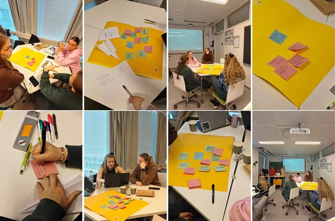
Shaping together in Germany – Designing games in the Ruhr area
If you wish to explore the previous parts of this retrospective three-part blog series, you can find the Norway blog post here and the Malta blog post here. Now, let’s enjoy Elmiina’s, Liisi’s, Ronja’s, and Tyyne’s travels and learnings from the third summer school in Germany! Summer School 3: Bochum, Germany, 24-28 March 2025 […]
Read more →
Shaping Together in Malta – Exploring sustainability in the small Mediterranean nation
If you wish to explore the first part of this retrospective three-part blog series, you can find the Norway blog post here. Now, let’s enjoy Elmiina’s, Liisi’s, Ronja’s, and Tyyne’s travels and learnings from the second summer school in Malta! Summer School 2: Gozo & Malta, Malta, 21-25 October 2024 Hello again! It’s Elmiina, […]
Read more →
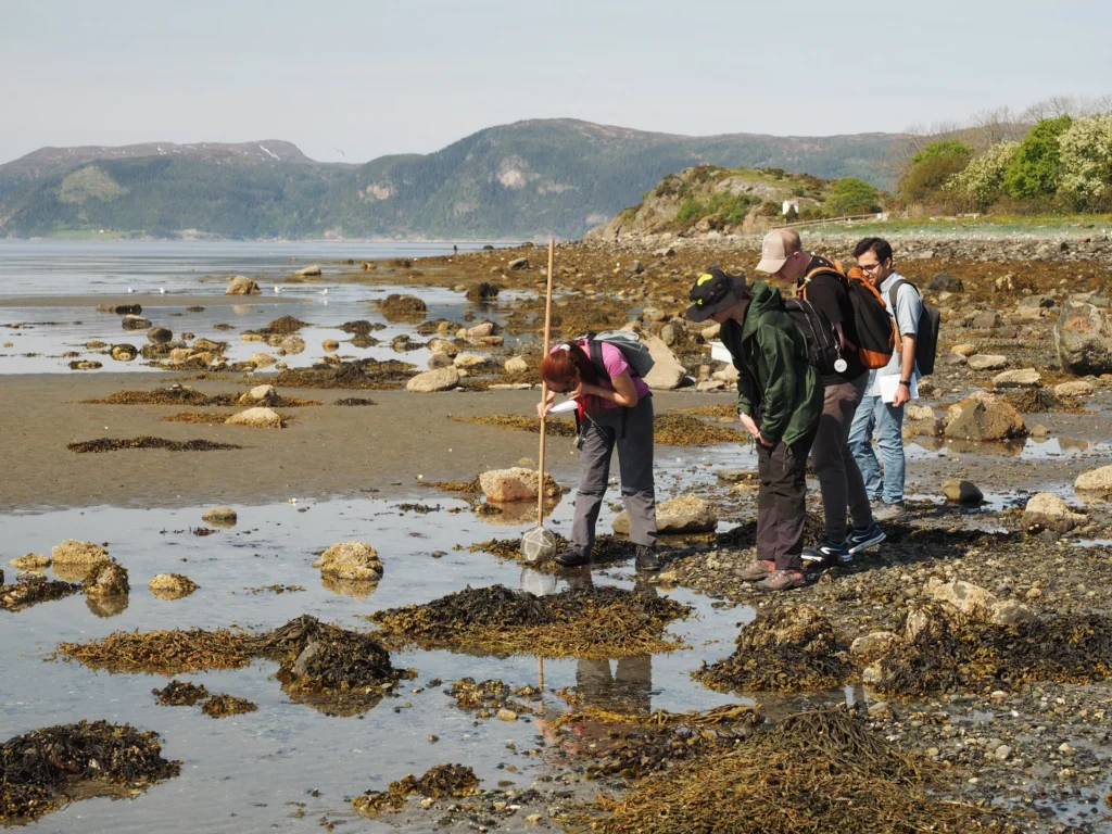
Shaping Together in Norway – Learning about geosciences in sunny Tautra and Trondheim
Blog series and project introduction Join us for our retrospective three-part blog series as geography students Elmiina, Liisi, Ronja, and Tyyne travel through Norway, Malta, and Germany shaping innovations in education for sustainable development! This three-part blog series showcases the University of Turku’s (UTU) students’ point-of-view of the Shape2Gether -project summer schools. What have the […]
Read more →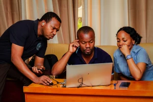
Enhancing Urban Resilience Through Geospatial Data Management: A Training Initiative by Resilience Academy
By Dr. Zakaria Ngereja, Amedeus Kimaro, Masoud Hamad and Msilikale Msilanga Spatial data management is paramount for decision-makers in urban resilience. In today’s rapidly changing climate, urban areas face mounting challenges from floods, droughts, and extreme weather events that necessitate informed planning and swift response capabilities. Effective spatial data management empowers city officials to visualize […]
Read more →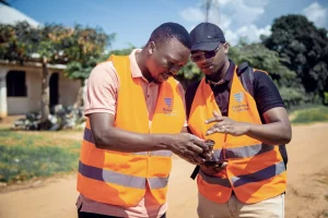
Resilience Academy to Train Youth in Flood Mapping Using Mobile Tools
Written by Msilikale Msilanga Resilience Academy is working in partnership with GIZ to empower young university alumni by involving them in flood mapping activities in Tanga. This initiative provides hands-on learning opportunities focused on using mobile phones for data collection. As part of this effort, 16 recent graduates from Ardhi University are participating in the […]
Read more →
DIDAIhub: Sustainable development
The student is able to comprehend information about sustainable development and has the ability to apply the concepts of sustainable development for reaching the Sustainable Development Goals in all personal and professional activities.
Read more →DIDAIhub: Basic research information of climate change
This Mini-MOOC is relevant information for communicating with local and regional planners of civil servants and the general public as well related to any SDG that includes a spatial dimension from global to local; for the sustainable use of land, adaption and mitigation actions for risks like flooding, soil degradation, ecosystem instabilities and conservation of ecosystems […]
Read more →
DIDAIhub: Field data collection with QField
The objective of this course is to learn the key elements on research and data collection planning. You will be able to evaluate the data collection process and recognize the role of documentation on field data collection. The goal is to learn how to plan and create a comprehensive data collection project on QGIS and […]
Read more →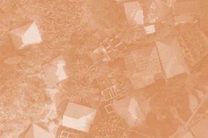
DIDAIhub: Satellite image classification using ML in Google Earth Engine
This course introduces students to the Google Earth Engine (GEE) cloud computing platform, focusing on accessing and preprocessing Earth Observation (EO) data.
Read more →DIDAIhub: Land cover/land use change detection with Google Earth Engine
The goal of this nugget is to introduce you to different methods and techniques for detecting and analysing LCLU changes using EO time-series data in Google Earth Engine (GEE).
Read more →DIDAIhub: Citizen Science Data Quality Assessment for Earth Observation
This module introduces students to citizen science data for Earth Observation, focusing on handling crowdsourced land cover and land use (LCLU) data samples in the R program. It covers the statistical accuracy assessment of citizen science data and the preparation of Collect Earth Online (CEO) LCLU samples data for satellite image classification.
Read more →DIDAIhub: SAR image analysis in GEE
Learning outcomes include understanding SAR remote sensing technology and using Sentinel 1 SAR images for built-up area mapping.
Read more →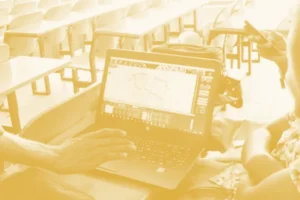
DIDAIhub: Processing large raster images in GDAL
This mini-MOOC provides an overview of different phases of the data analysis pipeline using Python and its data analysis ecosystem with GDAL.
Read more →DIDAIhub: Geospatial data management in postgres/postgis databases
This mini-MOOC focuses on competencies in adding, organizing, querying, retrieving, and combining data, and assessing data consistency with the help of the SQL tools in the DBMS and in QGIS.
Read more →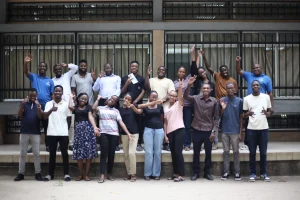
Mapathon to empowers youth with open-data for urban resilience and disaster risk reduction
By Paulo Haule (UDSM), and Msilikale Msilanga (UTU) On May 7th, the Resilience Academy and OMDTZ organized a Mapathon at CoICT, The University of Dar es Salaam. The event aimed to provide skills related to Open Source, OSM, geospatial, and other relevant fields. It was a one-day event that brought together university students, mentors, and […]
Read more →
Training Government Officials on Geospatial Data and Open-Source Tools
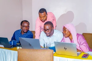
On March 10 and 11, Resilience Academy conducted a training session for government officials, focusing on the challenges of accessing and utilizing up-to-date geospatial data for climate risk decision-making. The participants, representing government offices from Ilemela and Nyamagana in Mwanza, often face difficulties in using fragmented data for decision-making. Issues such as inconsistent spatial information, […]
Read more →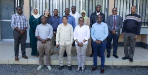
Resilience Academy Partners Strengthen Collaboration for Climate Action in Tanzania
By Msilikale Msilanga Today on 6 March, Partners who are part of the Resilience Academy MoU met to discuss the future direction of the Tanzania Resilience Academy and how to strengthen collaboration between all stakeholders. The full-day meeting brought together representatives from various partner organizations to review past achievements, share success stories, and collaboratively plan […]
Read more →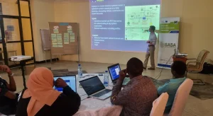
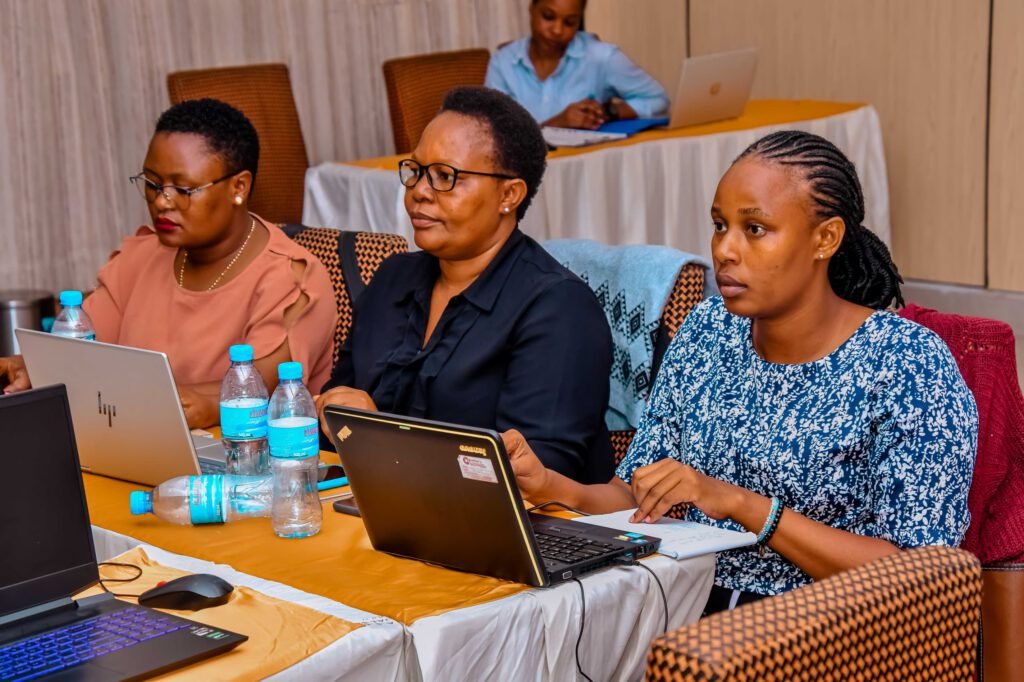
Resilience Academy Participates in HYSIM Training: Strengthening Water Resource Management Capabilities in Tanga
By Amedeus Kimaro and Msilikale Msilanga Continuous trainings and learning of new tools and technologies to the Government officials is one of those avenues that exposes experts who are working in the government offices to gain skills for decision making in order to make urbanized cities more resilient. The two days training about Hydrological Simulation […]
Read more →
Building Green and Smart Cities Through Youth, Government and Digital Innovation
The Tanzania Resilience Academy is launching a new initiative for Green and Smart Cities, supported by the Deutsche Gesellschaft für Internationale Zusammenarbeit (GIZ). The goal of this initiative is to transform urban development through open data, digital innovation, and youth engagement. The initiative will focus on two case studies centered on the cities of Tanga […]
Read more →