“These people have never been mapped, nobody has ever cared enough about them to even know where their house is. So these houses that you have been tracing today, is the first time that anyone has ever cared enough about those people in that distant part of the Congo enough to know where they live and put them on the map. To be on the map is to be acknowledged, it is to be known, it is to be recognized, it is to be counted. It is for the world to know that you are there and that you have needs, that you have dignity, that you have rights, and you have given that to 150,000 people today.” – Ivan Gayton
On 9th June Ramani Huria prepared a mapathon aiming to trace roads and buildings to help the heroes fighting Ebola on the ground in the Democratic Republic of the Congo (DRC).
How can maps really help the fight?
During the 2014 Ebola outbreak in West Africa, which killed over 12,000 people, digital mapping became increasingly important in helping emergency managers with their humanitarian emergency response operations.
When considering the best tools and skills to respond to the Ebola crisis in West Africa, in 2014, Doctors without Borders/Médecins Sans Frontières (MSF) sent a dedicated Geographic Information Systems (GIS) officer to Guinea to support the local and international medical teams who were fighting the Ebola-outbreak. The objective of this deployment was to find out whether input from a GIS specialist was useful during a crisis. The MSF GIS Unit asked Ebola facilitator Timo Luege to write a case study showing the impact of this field-based GIS officer. Some of the key findings were;
- Despite working in a very remote area, the GIS officer had adequate internet connection which allowed him to reach out for remote support. Among other things this made it possible for volunteers from the OpenStreetMap (OSM) community to contribute directly to supporting the response. This case shows how crowdsourcing can contribute to humanitarian emergency response such as epidemics.
- The GIS Officer in the field, along with local staff, was able to provide context to the base maps that were produced remotely. Both the remote and field components were important – without remote support to produce sufficient OSM basemaps, the GIS team on the ground wouldn’t have had a baseline to upon which to build out granular GIS data (e.g. health facility locations) needed to respond effectively to the crisis.
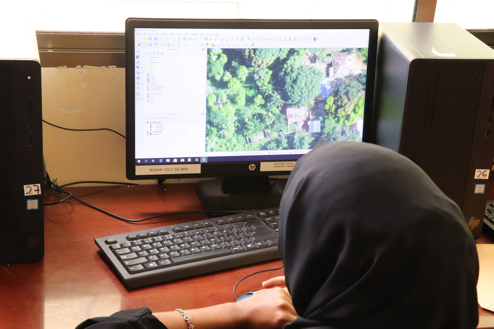
Remote mappers digitising roads and buildings in DRC using the HOT Tasking Manager
This historical case study inspired Ramani Huria to support the current Ebola crisis in DRC. The team decided to host a mapathon to map villages that are affected by Ebola or at-risk in DRC by tracing building and roads which will then provide a basemap to GIS analysts in the field who are vital in helping humanitarian and development organizations working in the area.
HOT Tanzania Country Manager, Ivan Gayton, also shared his experience of the Ebola outbreak in Sierra Leone which he witnessed during the deadly epidemic in West Africa as MSF staff. He explained to mapathon participants the incredible work of health professionals and responders working on the ground and how maps can support their work in tackling Ebola and other epidemics. As trade has increased in rural Africa, the rate at which diseases such as Ebola can spread has increased dramatically. Responders on the ground are tasked with contact tracing patients and vaccinating and isolating those they believe have been exposed in order to prevent the spread of the disease. Without adequate basemaps, medical professional face the next to impossible task of tracking the locations of those who have been exposed to Ebola. Supporting via remote mapping helps people trying to manage the Ebola outbreak on the ground to do contact tracing by providing a quicker way for them to locate the villages Ebola is coming from and stop the outbreak.
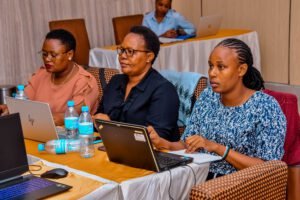
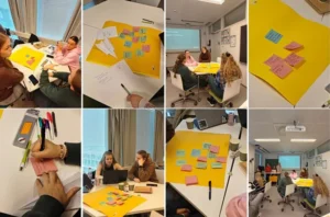
A total of 75 mappers, and 94 participants, attended the mapathon and within two hours had added 37,583 buildings to the map. This is the equivalent of adding approximately 187,915 people to the map, making it easier for responders to locate and track patients and provide humanitarian support to save lives.
Group Photo of Volunteers at the Mapathon
We hope that responders in the field will use the data set created by Ramani Huria as a basemap to help them lead the fight on the ground. Ramani Huria team will always be willing to provide remote support to those heroes in the field.
Useful links: