
TRAINING & SKILLS DEVELOPMENT
One training mission. Three places you'll find it.
Local talent produces the local data that builds local resilience — and gains employable skills doing it. That idea runs through Industrial Training in the field, through the Climate Risk Database, and through open courses online, not through one single course.
Training is not one programme
Across Resilience Academy, training is not a single course — it is a mission that shows up wherever people learn by producing something real. Ask where the training happens, and the honest answer is: in the field, in the data, and online — three different doors into the same standard.
HOW IT CONNECTS
Where training lives across Resilience Academy
STUDENTS · APPRENTICESHIP
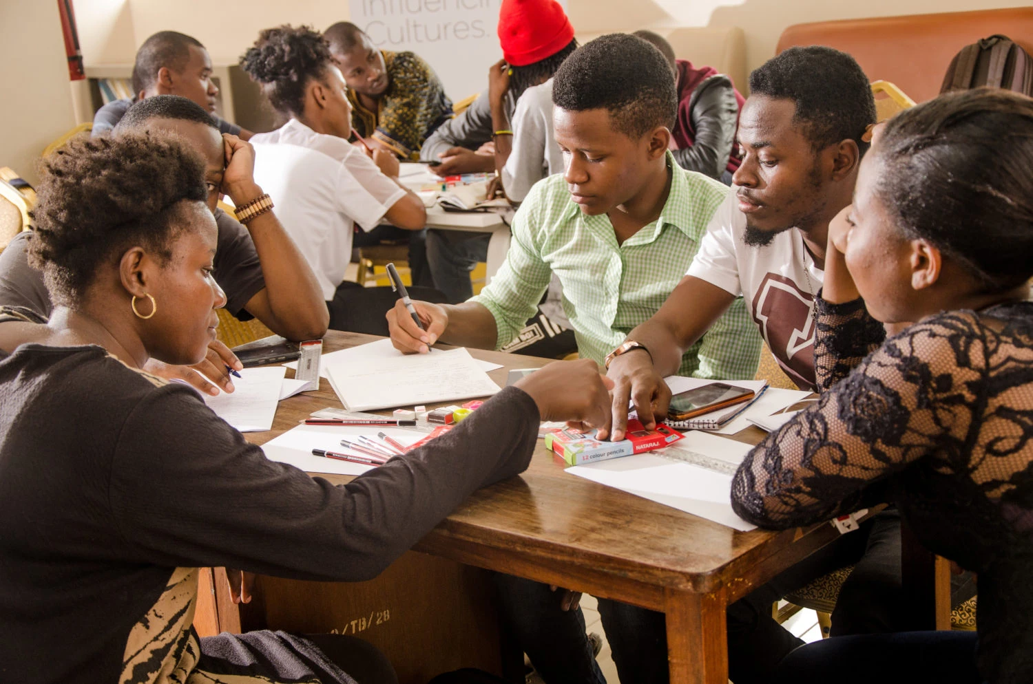
Learning by doing, in the field through industrial training program
Every year since 2019, 150–200 students spend five to eight weeks in an apprenticeship: a week of classroom training in data and tools, then real fieldwork collecting data based on a real client's needs. They leave with hands-on experience, a portfolio of real deliverables, and the confidence to work with data in the field from day one.
More about Placements →DATA MANAGERS · OFFICIALS
Training related to the use of data, not just collect it
We provide geospatial data training built around the Climate Risk Database, the shared foundation for all our courses. Data managers learn to quality-check and publish data to a consistent standard. Officials take the Executive Course, a short briefing on what the database is, how to access it, and how to use it in real planning decisions.
More about the Data →UNIVERSITY STUDENTS · STAFF
Open online courses for students and experts across academia and government.
Self-paced courses across several themes run openly to students and experts alike, and can be embedded for credit inside a partner university's own degree. Shorter briefings and a train-the-trainer ladder prepare staff and officials to teach the model themselves.
Browse the course catalog →ACROSS ALL THREE · CHALLENGE-BASED
Multi-Competence Learning methodologies.
Whichever door you come through, teams tackle a real problem with mentors and stakeholders, building several kinds of competence at once
Together these build people who can read climate risk, think in systems, work fluently with geospatial data, and turn that understanding into real-world solutions.
WHAT ALUMNI SAY
“I’ve used these skills to teach other people about GIS, and I still use Google Maps and mapping tools every day in my job.”
— SUZA alumnus, 2019–2020 cohort
“QGIS, ODK and OMK helped me with data collection, analysis and presentation during my dissertation — open-source software helped me a lot on urban planning projects.”
— Ardhi University alumnus, Urban & Regional Planning
88.8% of alumni say they used these skills again later · 94.2% would recommend Resilience Academy to a student today
From the field
Training stories
Resilience Academy delivers four-day training on geospatial data collection, quality management, and sharing in the Climate Risk Database across two Tanzanian cities.
By Msilikale Msilanga, Amedeus Kimaro and Massoud Hamad In March 2026, the Resilience Academy conducted two rounds of a four-day training on Geospatial Data Collection, Data Quality Management and Sharing in the Climate Risk Database. The first round took place in Tanga from 9 to 12 March, and the second round followed in Mwanza from […]
Read more →
Enhancing Urban Resilience Through Geospatial Data Management: A Training Initiative by Resilience Academy
By Dr. Zakaria Ngereja, Amedeus Kimaro, Masoud Hamad and Msilikale Msilanga Spatial data management is paramount for decision-makers in urban resilience. In today’s rapidly changing climate, urban areas face mounting challenges from floods, droughts, and extreme weather events that necessitate informed planning and swift response capabilities. Effective spatial data management empowers city officials to visualize […]
Read more →
Resilience Academy to Train Youth in Flood Mapping Using Mobile Tools
Written by Msilikale Msilanga Resilience Academy is working in partnership with GIZ to empower young university alumni by involving them in flood mapping activities in Tanga. This initiative provides hands-on learning opportunities focused on using mobile phones for data collection. As part of this effort, 16 recent graduates from Ardhi University are participating in the […]
Read more →
Have a project in mind?
Partner with Resilience Academy to map hazards, open geospatial data and build resilience with communities across Tanzania.