
The CRD data management process
Data curation, built on quality standards
The Climate Risk Database curation process is built on CRD data quality standards. Everyone in the data lifecycle works together to achieve the highest possible quality for the data we produce.
The asset that made continuity possible
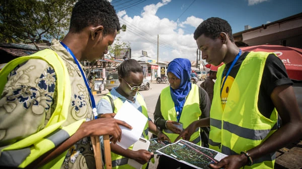
The Climate Risk Database was built under the World Bank programme as the engine of the whole model. A project can close, but an open, working database that cities already depend on cannot simply be switched off. It is the durable public asset that carried the Academy from a project into a community.
It does two things at once, by design: it is how young people learn digital skills by producing real data, and it is a working resource that real decisions are built on. Because it is useful to both, it keeps being fed and keeps being used.
Explore the Climate Risk Database
crd.resilienceacademy.ac.tz · GeoNode · open access
The data lifecycle
How data flows through the CRD
Every dataset moves through five stages, shared across data producers, CRD data managers and data users.
Collection
Producers collect data using their own protocols plus CRD quality requirements and standards, with data managers assisting when needed.
Delivering
The producer hands the finalised dataset and its metadata over to the CRD data managers.
Quality control
Managers double-check the data against every quality requirement, returning it to the producer if issues are found.
Publishing & storing
The finalised dataset is published in the CRD and backed up, with copies stored in cloud services.
Using
Openly accessible datasets are used by the urban-resilience community under the terms of the data licences.
Roles in the lifecycle
The people behind the data

Data providers
In Tanzania's Urban Resilience Program, data providers collect geospatial data from many projects to reveal climate-related risks. Every dataset they publish must meet CRD standards — relevant attributes, geometrical connectivity and standardised metadata.

CRD data managers
CRD data managers quality-control every dataset, support data providers and share published data on social media. Reach them via Climate Risk Database › Community Groups › Data Managers; training lives on the Digicampus platform.

Data users
Data users are the whole community that benefits from CRD datasets — local citizens, NGOs, urban planners, researchers, education institutes and every other stakeholder in urban resilience and disaster-risk management.
What we offer
Explore the CRD components
From the open database to tools, training and the annual visualisation challenge — everything you need to work with urban-resilience data.
Climate Risk Database (CRD)
Resilience Academy's Climate Risk Database is a geospatial data repository supporting research, education and planning. It brings together open-access data from industrial training, Tanzania Urban Resilience Program projects and third parties — built on the open Geonode platform, hosted at the University of Turku.
Data curation skills
We develop and run training for the next generation of professionals to sharpen their practical skills and academic understanding of urban challenges — courses for university experts, government officials, students and anyone improving their digital data skills.
Tools
We've collected a repository of open-access tools and practices for geospatial data management. Most run on free QGIS software — use them for data editing, quality assessment and analysis. We train students on these tools in industrial training and university courses.
View tools →Data Visualisation Challenge
An annual competition for university students keen to grow their data-visualisation skills. Teams learn together to build powerful visual solutions using data shared in the Climate Risk Database, then pitch their best geospatial visualisation.
Our commitment
Data quality standards
The Climate Risk Database shares open datasets on urban resilience in Tanzania. Every dataset shared via the CRD follows the data quality standards defined here — so we can assure high-quality accessibility and usability for the urban-resilience community and Tanzania Urban Resilience Program partners.
Relevant attributes
Every dataset carries the attributes needed to understand and reuse it.
Geometrical connectivity
Geometries are clean and topologically connected across layers.
Standardised metadata
Consistent, complete metadata accompanies every published layer.
Open accessibility
Published under clear licences for high accessibility and usability.
From the database
Data stories
Mapping the evolution of Unguja’s road infrastructure
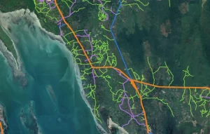
Unguja is one of the major islands in the archipelago of Zanzibar. Zanzibar is an island state that is part of the United Republic of Tanzania and has its own autonomous system of land administration. Starting in 2003, the Finnish Government provided financial support to the government of Zanzibar for the implementation of the Sustainable […]
Read more →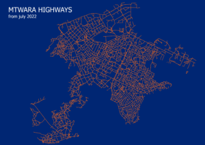
Roads of Mtwara (Tanzania): The importance of background data
Where we have access to. And with what. Can we go there? Can we take the bicycle or the car? And who else is using this road? And why is this important? The Mtwara highway Dataset covers the urban areas of Mtwara, this corresponds to an area of 18,3 km2. This Dataset was generated during […]
Read more →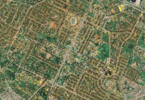
Background data of City2Seas Mtwara
Mtwara Buildings data consists of digitalized buildings in the city of Mtwara in south-east Tanzania. The city is located on the coast of the Indian Ocean near the border of Mosambik. The study area consists of only part of the Mtwara city, eight wards out of eighteen. This data was collected in part of a […]
Read more →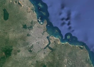
Road map in change in Dar es Salaam’s rapid urban development
Dar es Salaam Roads 2022 -dataset has been produced as a part of the World Bank’s project for urban development in Tanzania. This 2022 dataset is an update to an older version of 2019 and includes estimated average road reserve width for different road classes in the city of Dar es Salaam. Estimated widths of […]
Read more →Join us to make use of data
Access to digital datasets is a pre-requisite for understanding risks and developing evidence-based solutions for resilient urban development.