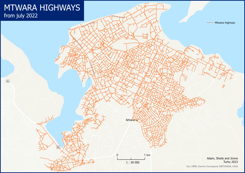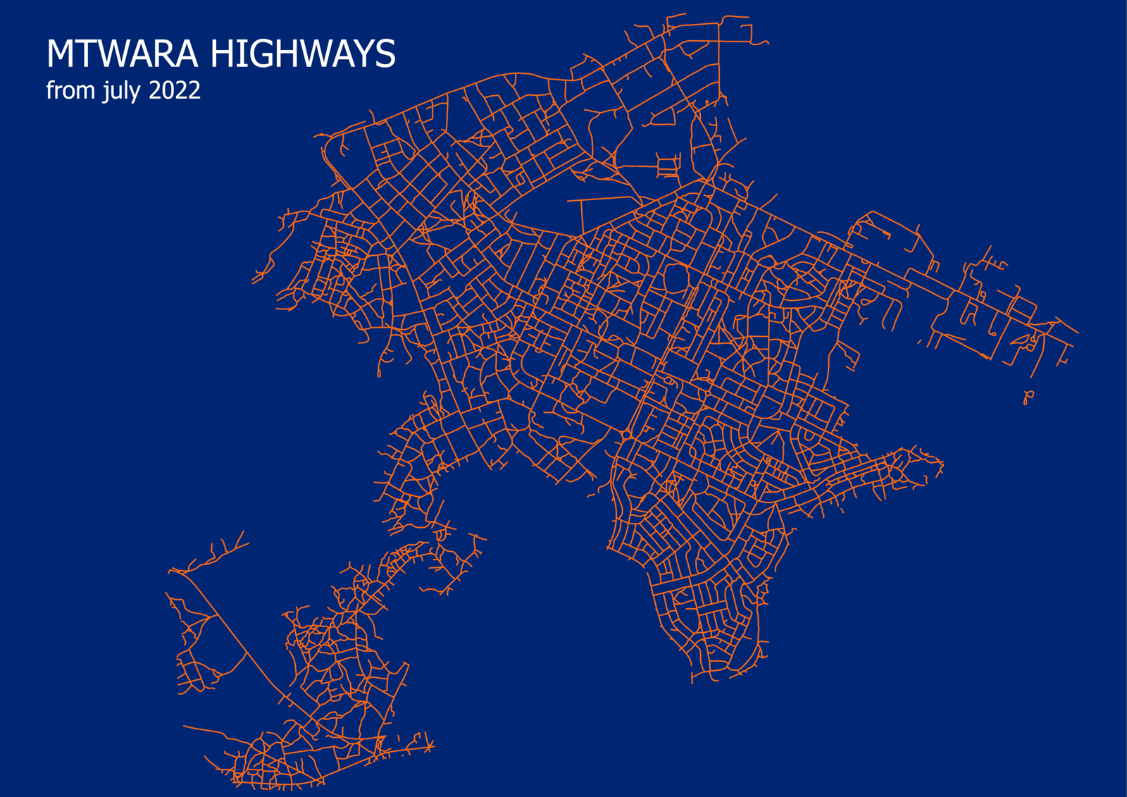
Where we have access to. And with what. Can we go there? Can we take the bicycle or the car? And who else is using this road? And why is this important? The Mtwara highway Dataset covers the urban areas of Mtwara, this corresponds to an area of 18,3 km2. This Dataset was generated during and for the City2Sea project: Coastal City Strategies for Prevention of Generation and Transport of Plastic Litter to Oceans. To work on Prevention and Strategies there must be a diagnosis of the current situation. Where comes the litter from, how it gets transported and what impact the litter has?
THE DATASET
The Roads were digitalized from a high-resolution Drone imagery of the area in July 2022 and a stakeholder called Uhuru labs was responsible for delivering the Drone imagery. In high-resolution Data it is possible to locate and digitalize smaller roads like small paths which are invisible in satellite images. The Dataset is a Vector-Dataset with some useful additional information like the street-names, the surface and the road type.
THE IMPORTANCE OF BACKGROUND DATA
Datasets like the Mtwara Highway Dataset are Background Data. Background Data are the Base, the Fundament, the Beginning of every project. Background Data delivers important information about the study area, it can be used as a reference and as a base for analysis and for different kinds of tools. It is important that the Background Data are well chosen, that they include all needed information or can be added with Data from other resources. The Quality of the result, the meaningfulness and power are directly located to the data that are used for the processes, to the Background Data.
THE ROADS AND THE PROJECT
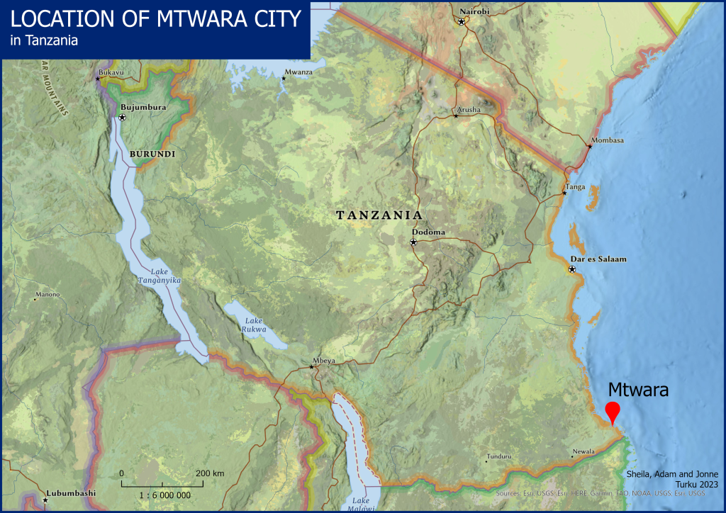
The goal of City2Seas Project is to diagnose the baseline situation of solid waste, cleaning and litter management in four coastal cities (Bagamoyo, Tanga, Mtwara and Dar es Salaam). The results could deliver the key facts for Integrated Management Strategies at a local level. For a project like this there are a lot of necessary data from different resources. They use Remote Sensing and Field Surveys to collect different kind of Data. The Roads dataset was one of them. The streets are the arteries of the city. Here people walk and drive from one place to another. Here these people throw their garbage into the environment. Here the cleaning service cleans the streets of a city. And here tourists come and see the litter, which has a negative impact on tourism.
USE OF THE DATA
The dataset provides valuable information for local authorities. It can be used for descision making regarding the expansion, maintenance, and improvement of roads. With this urban planning the Mtwara city’s infrastructure can be improved, and this enhances the quality of life and makes the city more livable.