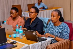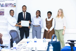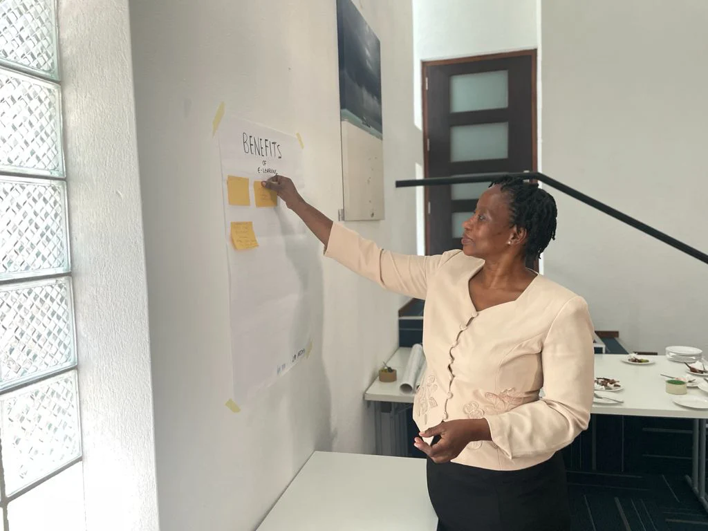
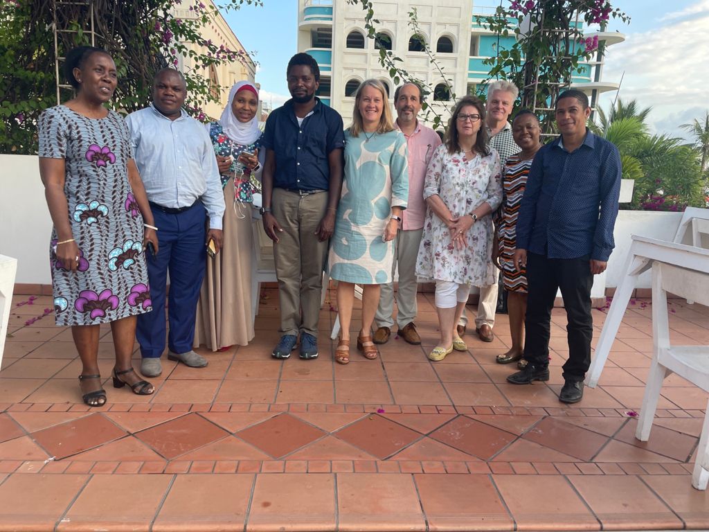
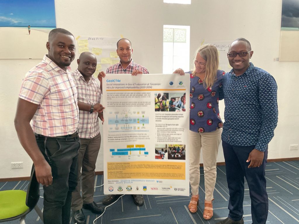
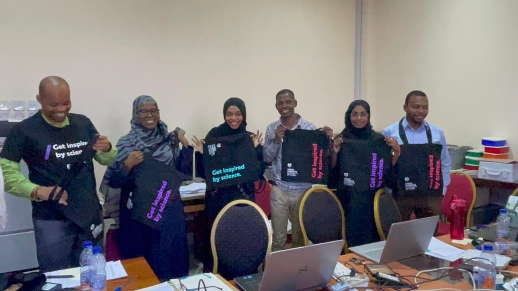
During the end of August and first days of September 2021, the GeoICT4e -project experts were finally able to meet face-to-face in Tanzania and dwell on better to local e-learning and challenge-based learning solutions. GeoICT4e experts Niina Käyhkö, Antero Järvi and Msilikale Msilanga from the University of Turku, and Eeva Timonen Kallio and Jari Hietaranta from the Turku University of Applied Sciences met with Tanzanian team members in a series of five workshops held in Moshi, Dar es Salaam, and Zanzibar.
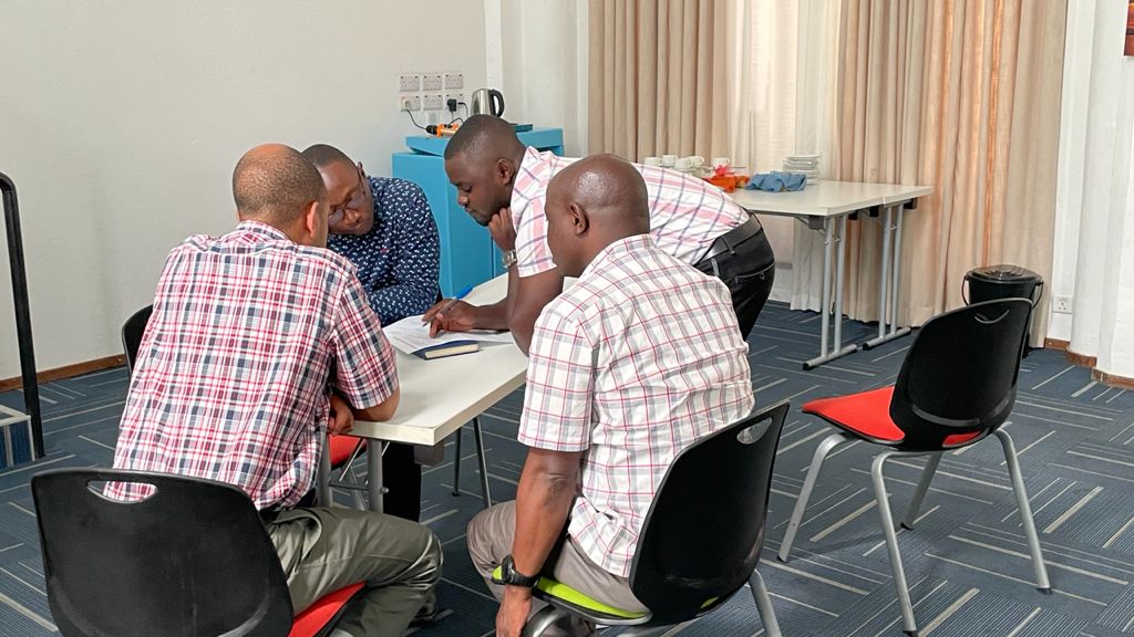
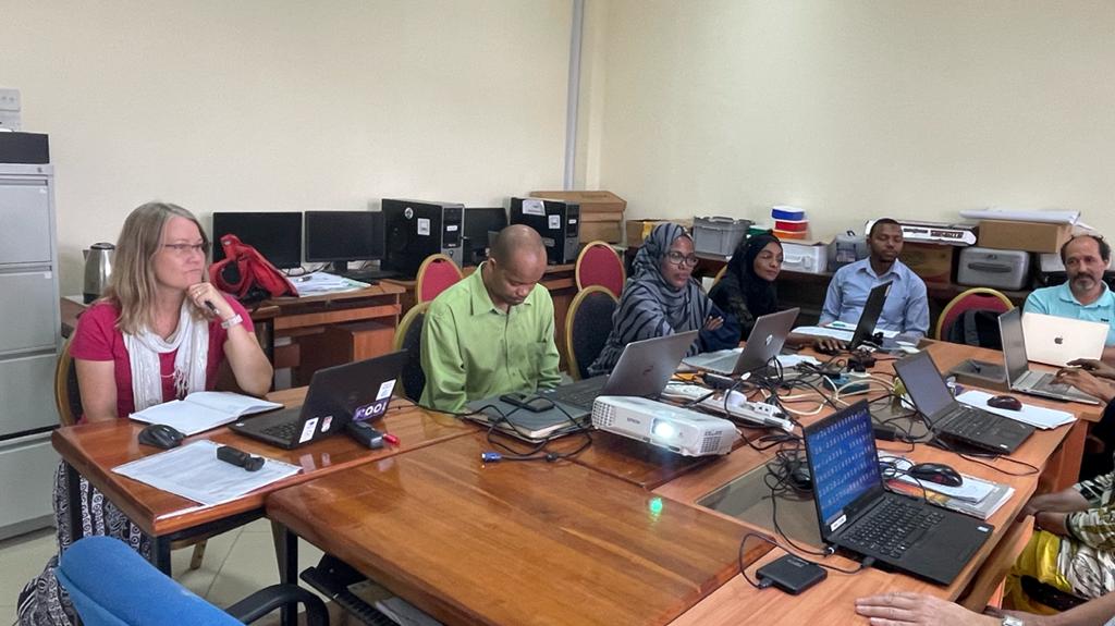
Due to the prevailing health situation and COVID-19 restrictions, the workshops were held separately with each Tanzanian partner university in smaller teams. Additionally experts met with crucial innovation partners such as dLab and Sahara Ventures. Physical meetings and workshops brought the team a long anticipated opportunity to plan the project activities, laugh, and enjoy time together.
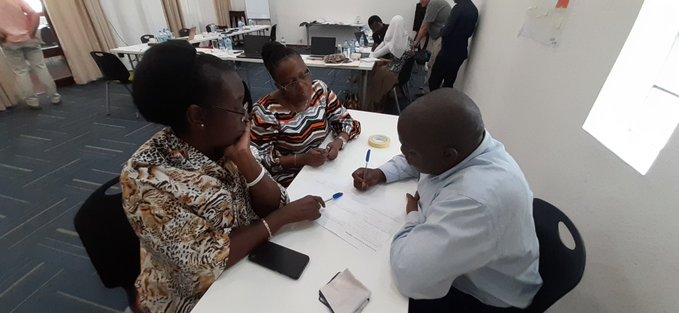
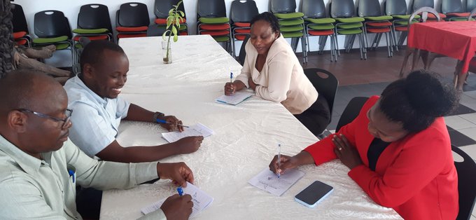
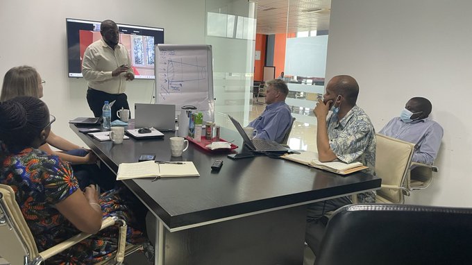
All five workshops had three main sessions, each with a specific theme. First session theme was about turning e-learning assets (mini-MOOCs, digital data etc.) into impactful learning services for Tanzanian and Finnish HEIs, second one about Planning CBL -campaigns based on the multi-competence learning (MCL) approach and e-learning assets: co-designing the process for Tanzanian HEIs, and the third one about Institutional needs, priorities and challenges and a way forward .
From contact teaching to blended and challenge-oriented approaches
One of the key topics of the workshops was to share ideas and discuss the role of the teachers and students when learning moves from traditional contact teaching to online and particularly to blended solutions. The discussion was enriched with a few examples of e-learning solutions in Finland and how to integrate geospatial and ICT technologies and online learning environments and materials to local courses. Then the team focused on sharing their own experiences of blending e-learning, what opportunities and challenges it brings, and how to design student-led learning in data and technology oriented subjects using digital data and mini-MOOCs. We ended up thinking quite a bit of needs in the project to train each other with good approaches and solutions locally and decided to organise more pedagogical coaching and training addressing these issues.
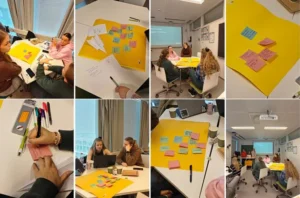
The central vehicle for GeoICT4e is the multicompetence learning (MCL) process, which happens via co-creative challenge campaigns. The team spent an intensive session discussing how these challenge based learning (CBL) campaigns would look like, and how we engage students and teachers from different disciplines in Tanzania into this learning process. We brainstormed about the cooperation between the universities and innovation ecosystem actors and various potential stakeholders as well as the problems/challenges/cases needed to make the challenges inspiring for the students.

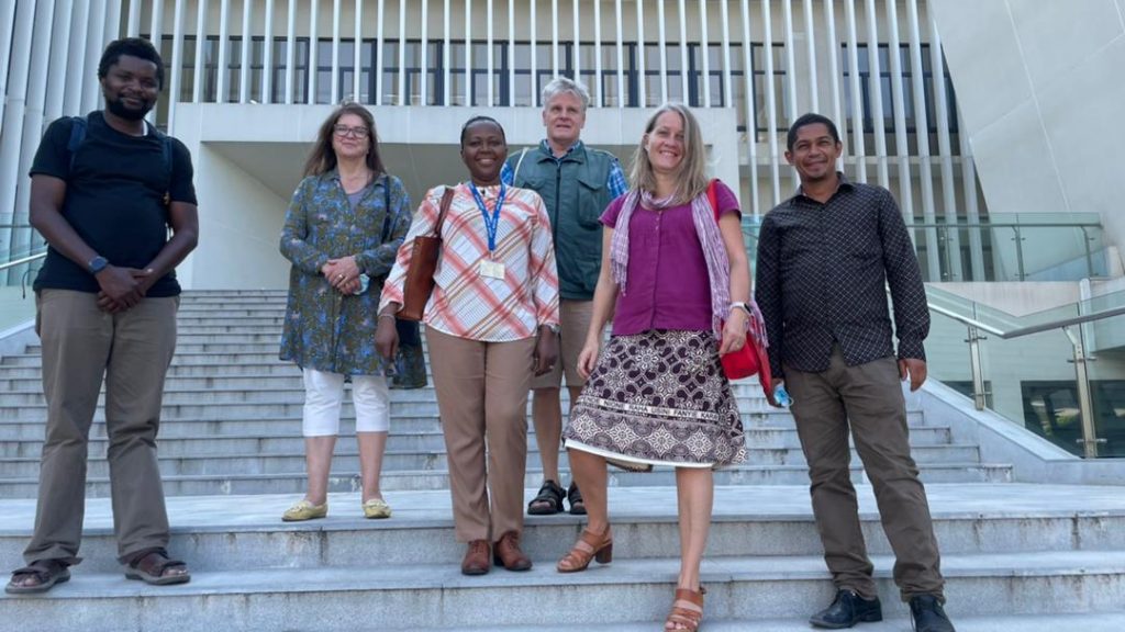
Stakeholder meetings and field visits during the travel
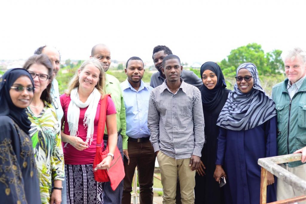
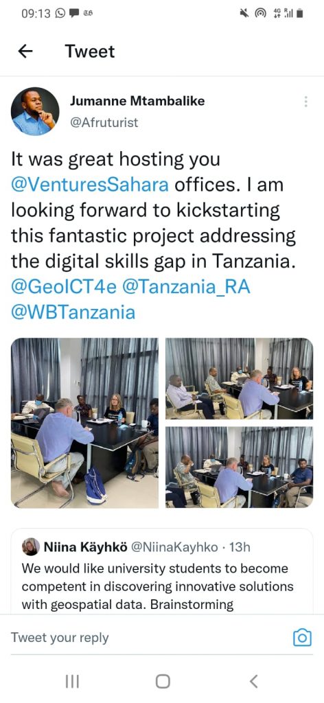
On top of the workshops, the team also met innovation ecosystem actors and held meetings with dLab and Sahara Ventures. With dLab, the discussion was particularly fruitful on the issues of open digital geospatial data and how it forms a central asset of the student challenges and solving location-related problems in the society. With Sahara Ventures the discussion was engaged around the overall CBL methodology and how to turn students’ innovations into locally viable businesses. The team is eager to continue the co-design process with both collaboration actors, when the CBL experts of the project gather for a three-day workshop in Tanzania later this year.
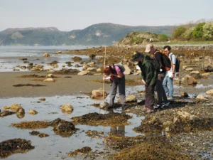
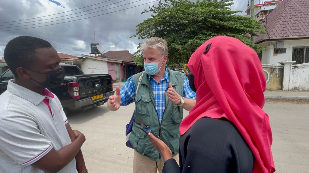
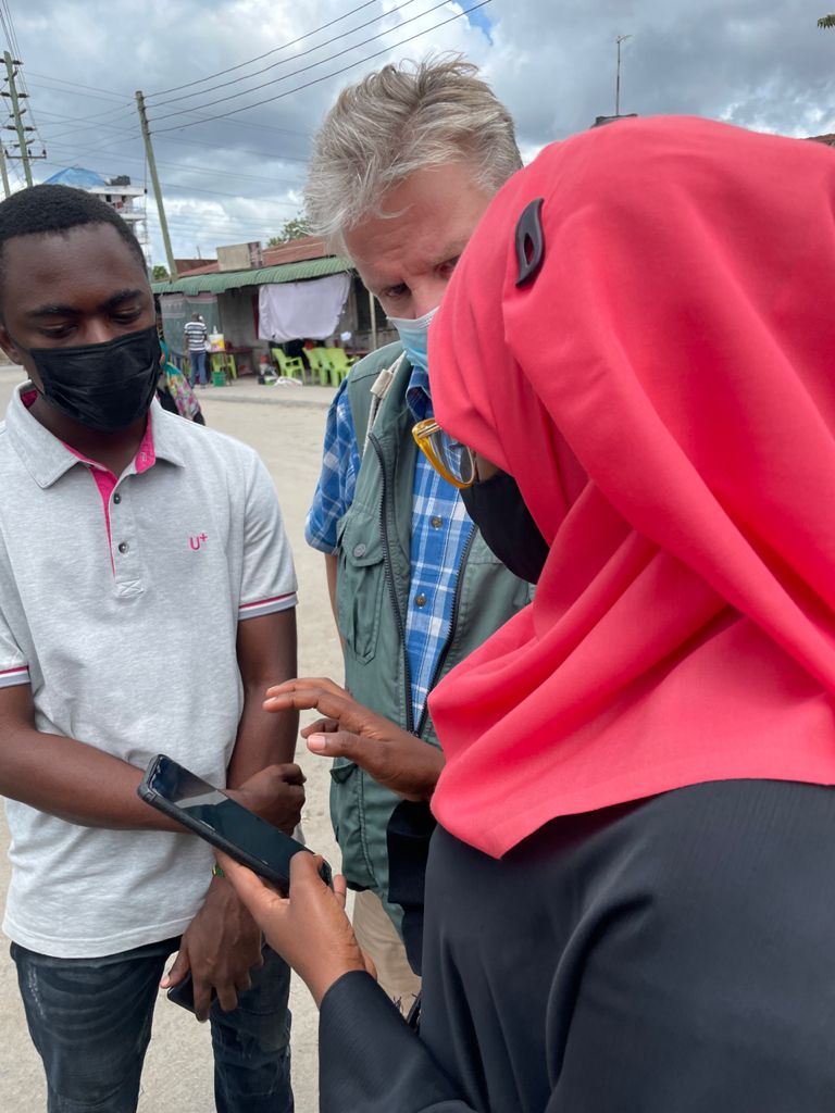
In addition, Finnish team members got familiar with the GPS based data collection field work done by the University of Dar es Salaam and Ardhi University students. The mapping work consists of basic data collection from informal areas whereas no existing data is available. Mapping consists of quantitative and qualitative data from streets, services, buildings and interviews of residents as well. All data was collected with the help of a mobile phone.

Text by Rita Rauvola and Niina Käyhkö (University of Turku), and Eeva Timonen-Kallio and Jari Hietaranta (Turku University of Applied Sciences).
Pictures by Msilikale Msilanga (University of Turku).