NewsData stories
Data stories28 November 2020

Resilience academy Data Visualisation Challenge 2020

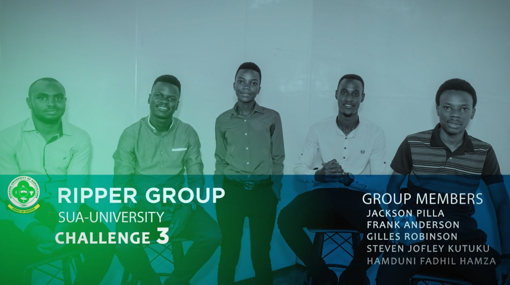
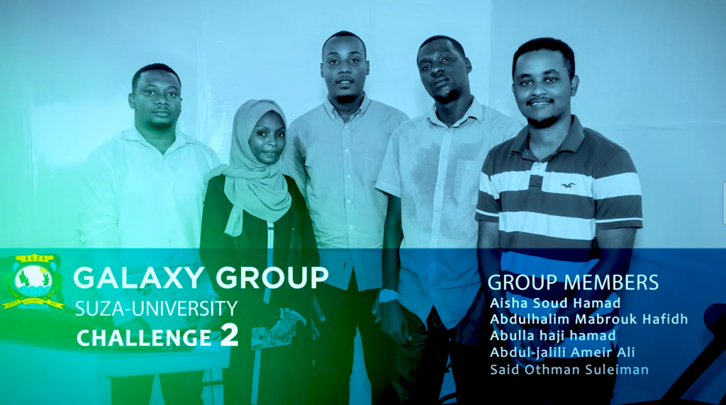
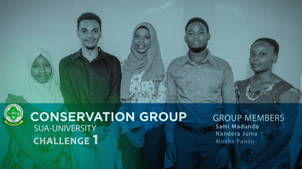
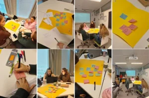
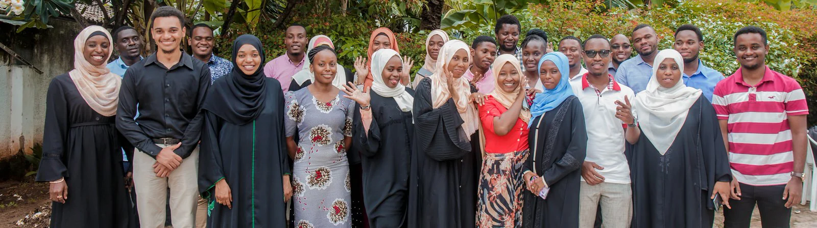
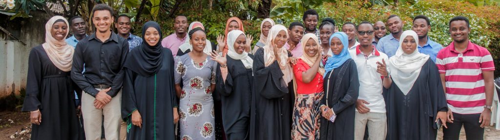
Group photos for participants in a data visualisation challenge  Every year, Resilience Academy is preparing a data visualization challenge to University students in order to give an opportunity to young university students from four Tanzanian universities (4) to learn geospatial data visualization tools and techniques and in practice while delivering visualization of selected, real-world visualization […]

Resilience Academy

Photo: Resilience Academy
Visualisation challenge
Group photos for participants in a data visualisation challenge 

Every year, Resilience Academy is preparing a data visualization challenge to University students in order to give an opportunity to young university students from four Tanzanian universities (4) to learn geospatial data visualization tools and techniques and in practice while delivering visualization of selected, real-world visualization cases. So it is a geospatial data visualization competition for university students. During the challenge, students work in teams to create visualizations for geospatial data related to different topics under the umbrella of urban resilience.

In 2020 as in last year more than 200 students applied to participate in the challenge from the University of Dar es Salaam, Sokoine University of Agriculture, Adhi University, and The state university of Zanzibar.

The challenges for this year’s visualization is based on the pilot project for tree mapping and drainage mapping which was conducted under the Tanzania Urban Resilience Program through Ramani Huria. So the students developed concepts and visualized the following challenges:

  • Visualization of urban tree distributions and their importance for urban forestry management.
  • Visualizing drainage bottleneck locations
  • Integration of different types of data to identify challenges through urban planning.

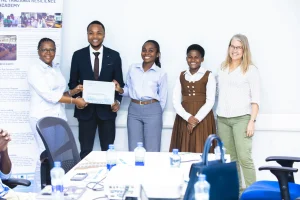
Yesterdays (27th November 2020), 8 groups of students presented their final pitching to the audience where three groups won prizes: Conservation group from USA (first place), Galaxy group from SUZA (Second place), and Ripper group from SUA (Third place). You can watch all the pitching for yesterdays event through our youtube channel 

Resilience Academy has been developing skills in students (future experts) through an industrial training program, visualization challenge program, and other activities. This structure provides an opportunity for decision-makers and organizations to access graduates who are skilled with relevant geospatial data management and open-source tool skills, who can create data, as well as generate solutions for urban challenges.

For more information about the visualization challenge, visit here.

Share

Related articles

News30 Jun 2026

Building climate agency through geospatial and challenge-based learning – reflections of the Shape2Gether project

Authors: Niina Käyhkö, Sanna Mäki, Jukka Käyhkö   The Erasmus+ higher education cooperation project “Shape2Gether” (Shaping Innovations in Education for Sustainable Development: Contextualizing Geosciences, New Technologies, and Serious Games with Climate Change, 2024–2026) brought together seven university partners and one company from across Europe to transform education for sustainable development. The project aimed to integrate […]

Read more →
News, Training1 Apr 2026

Resilience Academy delivers four-day training on geospatial data collection, quality management, and sharing in the Climate Risk Database across two Tanzanian cities.

By Msilikale Msilanga, Amedeus Kimaro and Massoud Hamad In March 2026, the Resilience Academy conducted two rounds of a four-day training on Geospatial Data Collection, Data Quality Management and Sharing in the Climate Risk Database. The first round took place in Tanga from 9 to 12 March, and the second round followed in Mwanza from […]

Read more →
News9 Mar 2026

Shaping Together in Finland – Sharing the Shape2Gether Experiences in Turku

The Shape2Gether -project is about shaping innovations in education for sustainable development: contextualizing geosciences, new technologies, and serious games with climate change. If you wish to explore insights from the three summer schools that were organized during this project, you can find the Norway blog post here, the Malta blog post here, and the Germany […]

Read more →
News10 Jan 2026

85 students and alumni engaged in the 2025 Data Visualization Challenge to develop geovisualization solutions supporting urban water and climate resilience decision-making in Tanga and Mwanza.

By Msilikale Msilanga Young people develop the most robust skills when they engage in hands-on work on real-world problems. Resilience Academy organized another visualization challenge for 2025 as part of ProWA-SASA project, collaborating with partners like GIZ and ProWAS SASA Partners from Mwanza and Tanga cities. This initiative provided university students and recent graduates with […]

Read more →