
● Ongoing
Dar es Salaam
Tanzania Resilience Academy
Local talent producing the local data that builds local resilience — and gaining employable skills by doing it.
About the project
About this project
The Resilience Academy (RA) is a World Bank–led university partnership and service-delivery programme that improves the digital skills, competences and employment of African youth for more effective disaster-risk management. It is Pillar 4 of the Tanzania Urban Resilience Program (TURP, launched in 2017 by the Government of Tanzania, the World Bank and UK DFID/FCDO), and it grows directly out of Ramani Huria — the Dar es Salaam community-mapping programme that trained hundreds of students and mapped roughly three-quarters of the city into OpenStreetMap.
Tanzanian cities face rising climate risk amid rapid, weakly-planned growth and a shortage of up-to-date digital data. RA closes two gaps at once — the missing climate-risk data and youth unemployment — by having students produce the missing data as they learn. Its guiding principle is that future solutions must be locally driven, low-complexity, fit-for-purpose and youth-engaging, so decisions are reliable, owned locally and actionable over time.
RA delivers through five services: the Climate Risk Database (CRD), the flagship annual mass-internships / industrial training (150–200 students a year since 2019), digital micro-tasking, open e-learning (mini-MOOCs on Digicampus), and research & innovation. More than 1,300 students have been trained since 2016, and the CRD now holds hundreds of open datasets across a dozen-plus Tanzanian cities.
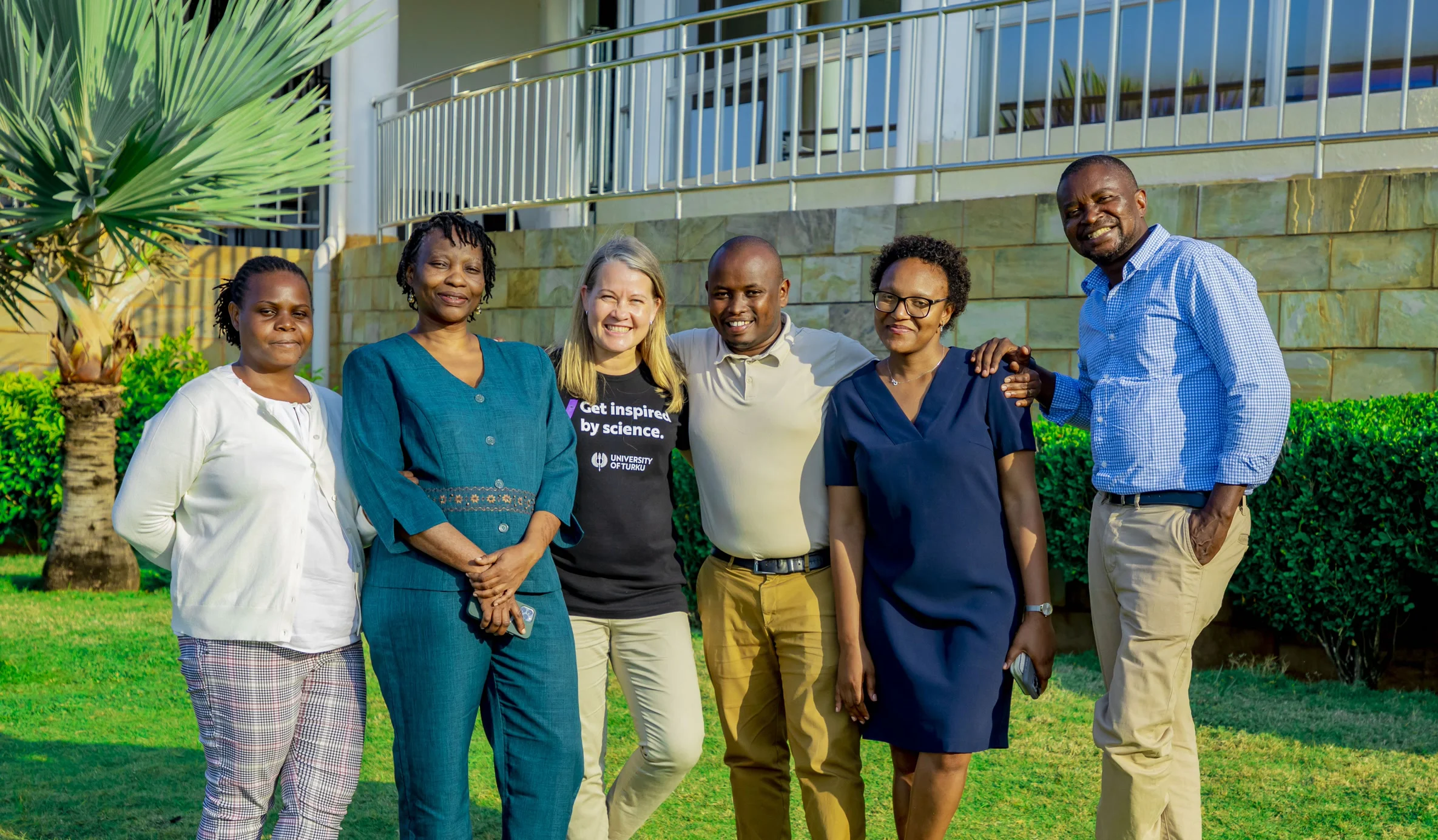
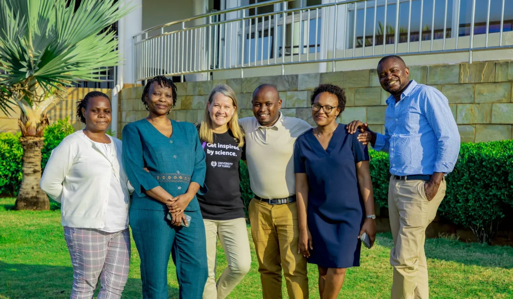
The programme is led by four Tanzanian universities — Ardhi University, the University of Dar es Salaam, Sokoine University of Agriculture and the State University of Zanzibar — with the University of Turku (Finland) as Secretariat and international partners including ITC / University of Twente, TU Delft and TU Dortmund. Its community-mapping backbone is Open Map Development Tanzania (OMDTZ). Governance rotates annually among the universities, with the Tanzania ICT Commission (ICTC) linking the programme to clients and funding. Recent diversification includes GIZ ProWAS-SASA (2024–2026) and BLUE-ZAN.
Objectives
- Build and sustain an open climate-risk data commons — the Climate Risk Database (CRD)
- Train youth in open-source, low-cost geospatial and data skills, on real data
- Engage local communities and ward officials in mapping urban risk
- Create digital-work and employment pathways for young people
- Embed geospatial curricula for credit in partner universities (RA does not self-accredit)
- Pilot out-of-the-box data & technology solutions through research & innovation
Key activities
Project details
Impact at a glance
Project partners

World Bank GFDRR
Founding funder — World Bank / TURP (GFDRR)

GIZ
Funder — GIZ ProWAS-SASA
Ardhi University
Lead university
University of Dar es Salaam
Partner university

State University of Zanzibar
Partner university

University of Turku
Secretariat (University of Turku, Finland)
OpenMap Development Tanzania
Community-mapping backbone

Tanzania Meteorological Authority
Data partner
Project outputs
Impact, data & learning resources
📈
Impact & outcomes
📘
Training materials
💾
Datasets produced
The people behind the project
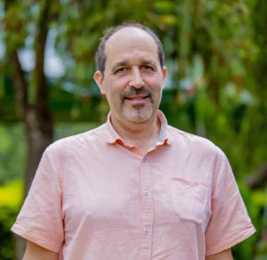
Meet the team
Researchers, practitioners and community leaders driving impact on the ground.






Reports & publications
View all reports →Related content
PROJECT
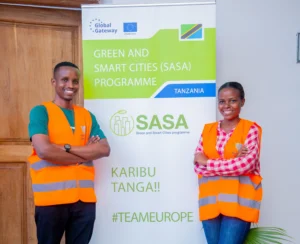
Resilience Academy for ProWAS-SASA
PROJECT
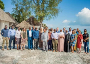
GeoICT4e
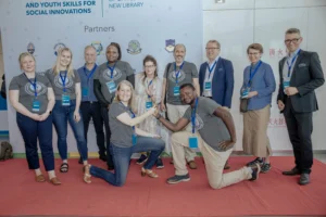
PROJECT
DIDAIhub
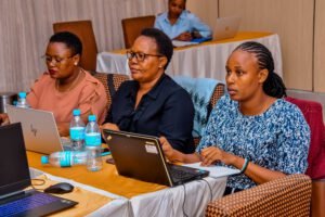
BLOG POST
Resilience Academy delivers four-day training on geospatial data collection, quality management, and sharing in the Climate Risk Database across two Tanzanian cities.
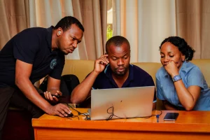
BLOG POST
Enhancing Urban Resilience Through Geospatial Data Management: A Training Initiative by Resilience Academy
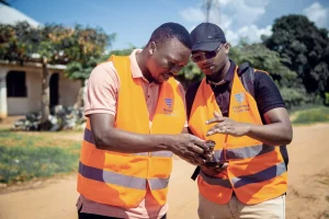
BLOG POST
Resilience Academy to Train Youth in Flood Mapping Using Mobile Tools
BLOG POST
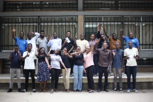
Mapathon to empowers youth with open-data for urban resilience and disaster risk reduction
BLOG POST
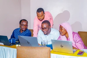
Training Government Officials on Geospatial Data and Open-Source Tools
BLOG POST
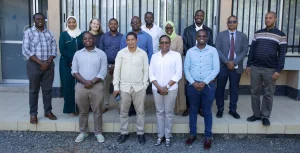
Resilience Academy Partners Strengthen Collaboration for Climate Action in Tanzania
BLOG POST
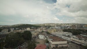
Building Green and Smart Cities Through Youth, Government and Digital Innovation
BLOG POST
Geospatial Data Quality Webinar
Have a project in mind?
Partner with Resilience Academy to map hazards, open geospatial data and build resilience with communities across Tanzania.