
● Ongoing
Dar es Salaam
Resilience Academy for ProWAS-SASA
Water security and climate resilience for urban areas in Tanga and Mwanza — through open geospatial data and youth-driven digital solutions.
About the project
About this project
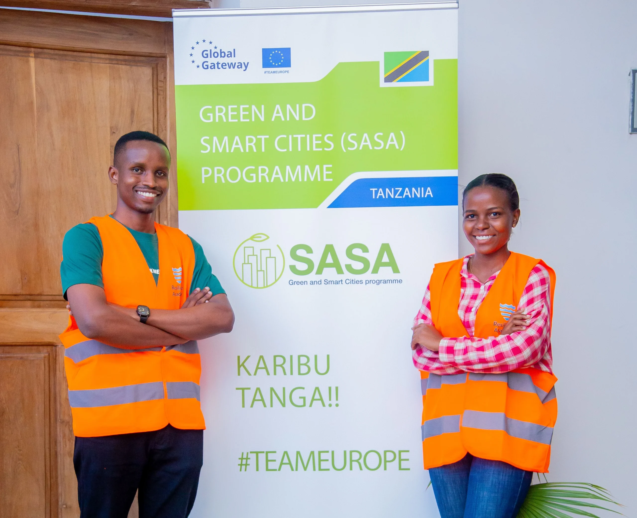
Resilience Academy for ProWAS-SASA is the Tanzania Resilience Academy's contribution to "Green and Smart Cities SASA" — a Team Europe Initiative for water security and climate resilience in urban Tanzania, financed by Germany's BMZ and the European Union and implemented by GIZ. Under a grant to the University of Turku (Grant Agreement 81310675, up to €259,993.25 within the €7 million whole programme, Nov 2024 to 2026), it strengthens the capacities of Tanga and Mwanza stakeholders — including Tanga UWASA, MWAUWASA, the Lake Victoria Basin and Pangani Basin Water Boards, and the RA universities — to use open geospatial data, digital tools and community-youth-driven approaches for climate-resilient urban development and water management.
The two cities face acute water-security and flood risk: Mwanza, on the shores of Lake Victoria, floods seasonally and struggles with industrial wastewater, while Tanga, on the Indian Ocean coast, has inadequate drainage and rising flood exposure. The project curates and opens the geospatial data these cities need, trains officials, students and communities to use it, and embeds it in decision-making through the Climate Risk Database (CRD).
Delivered by the University of Turku with Ardhi University, the University of Dar es Salaam, Sokoine University of Agriculture and the State University of Zanzibar, it works through the Resilience Academy's four methods — student industrial and practical training, the Climate Risk Database data commons, open online learning resources, and research and innovation. Its three outputs improve the availability and access to open geospatial datasets; the skills of stakeholders to use open-source data and tools; and the awareness and long-term sustainability of RA's digital services.
By mid-2026 the project had grown the Climate Risk Database to 344 open datasets, 41 thematic maps and 700+ members; completed a 7,169-household flood survey across two Tanga wards (Mnyanjani and Mabawa), producing seven thematic flood maps; trained 51 government officials and water-authority staff across Mwanza and Tanga; collected 150 new geospatial datasets; and hosted the "Water Security and Climate Resilience Visualisation Challenge" — 85 student applicants narrowing to six finalist teams, won by a Sokoine University group mapping population pressure against drainage-infrastructure gaps in Mwanza.
Objectives
- Curate and open geospatial datasets for Tanga and Mwanza in the Climate Risk Database (CRD)
- Run a community-and-student flood-mapping campaign in Tanga and Mwanza
- Train government officials, water authorities, students and alumni in open-source geospatial tools
- Develop open online training materials and micro-MOOCs on the CRD
- Establish a Community of Practice and a dedicated ProWAS-SASA web presence
- Host a Data Visualisation Challenge on water security and climate resilience
- Advance gender-active participation (50% female) and youth employability
Key activities
Project details
Impact at a glance
Project partners

GIZ
Funder & programme owner — GIZ (BMZ + EU, Team Europe)

University of Turku
Grant recipient & lead (University of Turku)

Vitens-Evides International
Co-implementing partner (water utilities & NbS)

Ardhi University
Partner university (Tanzania)
University of Dar es Salaam
Partner university (Tanzania)

Sokoine University of Agriculture
Partner university (Tanzania)

State University of Zanzibar
Partner university (Tanzania)
OpenMap Development Tanzania
Community-mapping partner (OpenMap Development Tanzania)
Project outputs
Impact, data & learning resources
📈
Impact & outcomes
📘
Training materials
💾
Datasets produced
The people behind the project
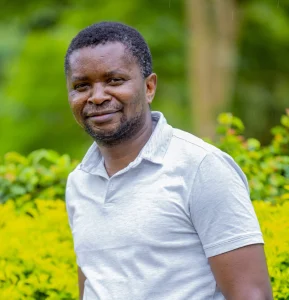
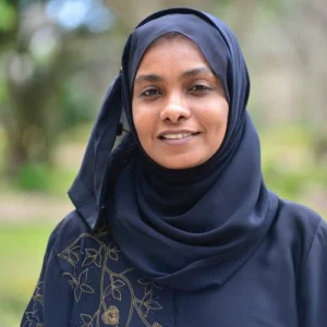
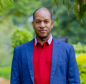
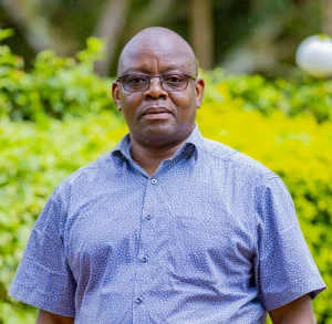
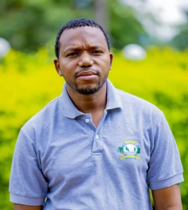
Meet the team
Researchers, practitioners and community leaders driving impact on the ground.



Reports & publications
View all reports →Related content
PROJECT
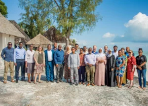
GeoICT4e
PROJECT
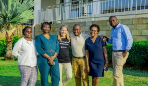
Tanzania Resilience Academy
PROJECT
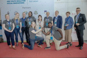
DIDAIhub
BLOG POST
Resilience Academy Participates in HYSIM Training: Strengthening Water Resource Management Capabilities in Tanga

BLOG POST
85 students and alumni engaged in the 2025 Data Visualization Challenge to develop geovisualization solutions supporting urban water and climate resilience decision-making in Tanga and Mwanza.
Have a project in mind?
Partner with Resilience Academy to map hazards, open geospatial data and build resilience with communities across Tanzania.