NewsNews
News19 February 2019

Tanzania’s preparedness for climate challenges is supported by cooperation between the Geo-ICT partners

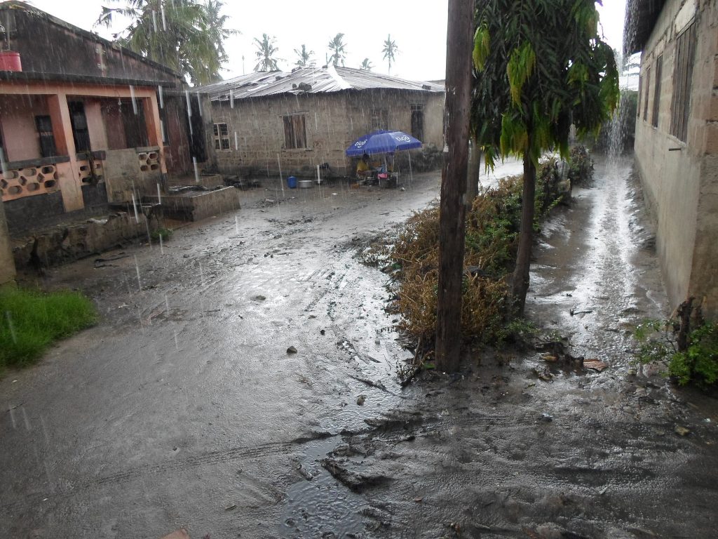
Photo credits: Ramani Huria, https://www.flickr.com/photos/ramanihuria/   The World Bank has granted funding for the five Geo-ICT partners, University of Turku, Ardhi University, Sokoine University of Agriculture, State University of Zanzibar, and University of Dar es Salaam in developing geospatial expertise to control risks posed by floods and climate change. Cities in Tanzania are especially vulnerable […]

Msilikale Msilanga

Resilience Academy

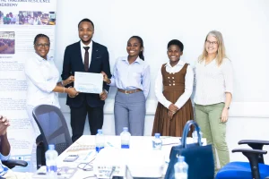
Photo: Resilience Academy
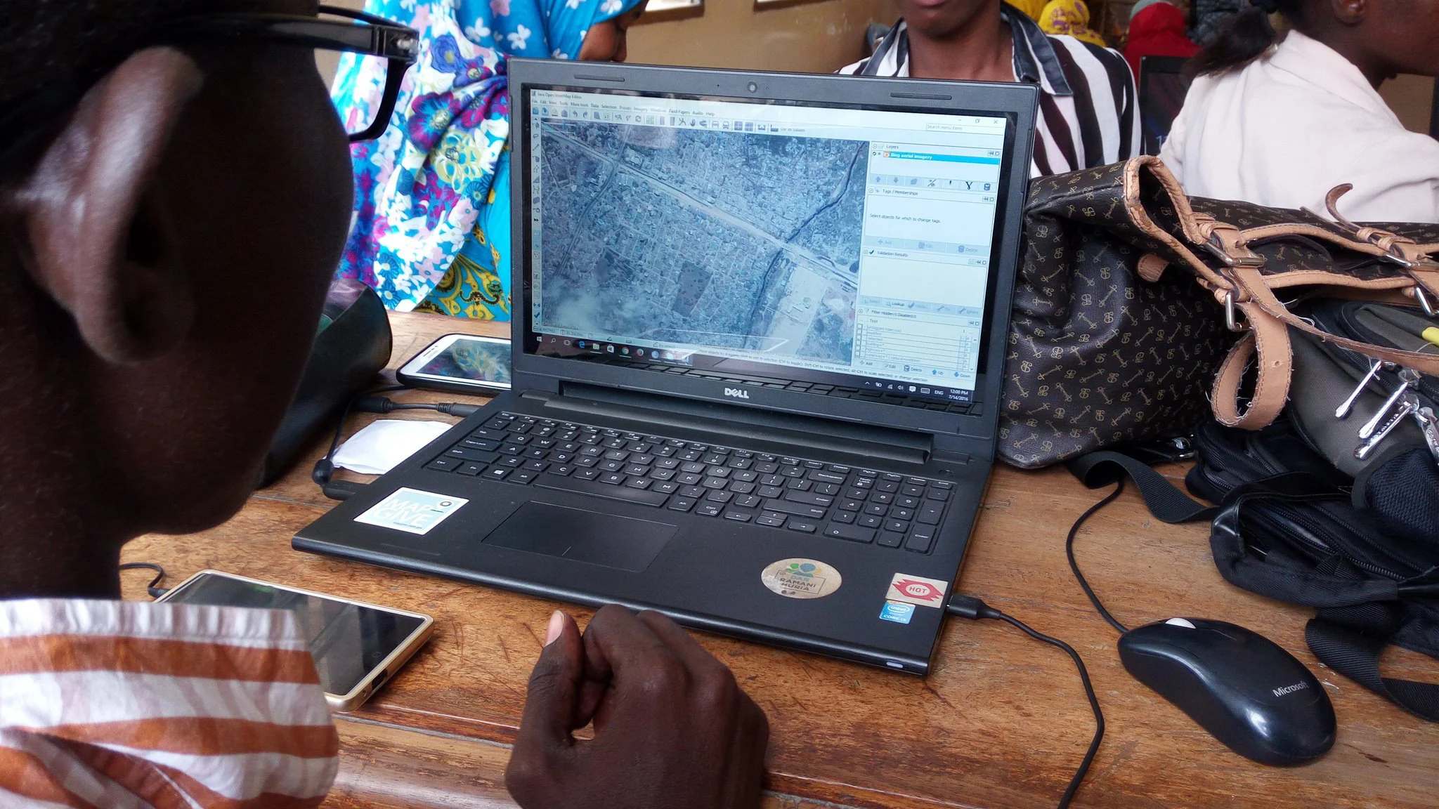
Photo credits: Ramani Huria, https://www.flickr.com/photos/ramanihuria/
 
The World Bank has granted funding for the five Geo-ICT partners, University of Turku, Ardhi University, Sokoine University of Agriculture, State University of Zanzibar, and University of Dar es Salaam in developing geospatial expertise to control risks posed by floods and climate change. Cities in Tanzania are especially vulnerable to the extreme phenomena caused by climate change due to population growth and weak urban planning.

According to estimates, as much as 95% of the growth in global urban population in the next 20 years will take place in rapidly developing countries such as Tanzania. Each year, Dar es Salaam suffers from extensive floods that destroy infrastructure and threaten citizens’ health and well-being. The changing climate is expected to cause new obstacles for development in the country’s growing cities. Geospatial expertise and using new, innovative technologies support the follow-up and management of urban environments.

– Lack of geospatial data hinders the development of rapidly changing countries. With its five-year Tanzania Urban Resilience Project, the World Bank has supported the development of a new and openly available knowledge base for mapping urban environments and identifying flood risks. The data has been collected, for example, with drones and citizens and university students’ voluntary work. However, Tanzania will need experts to process and use the digital data. The universities are now meeting this educational challenge, says Associate Professor Niina Käyhkö from the Department of Geography and Geology from the University of Turku.

The objective of the new Tanzania Urban Resilience Academy project funded by the World Bank is to create permanent practices for geospatial education and research especially in the sustainable development sector both in Tanzania and Finland. – This can be achieved with academic collaboration where the University of Turku and the Tanzanian universities have long traditions. Aided by Finnish development co-operation funding, we have collaborated institutionally with the Tanzanian universities in geospatial research and education for 15 years. Now our collaboration is supported by the World Bank, says Käyhkö, who also leads the Resilience Academy project.

New Map Service from Geospatial Data

In the project coordinated by the University of Turku, geospatial data is pooled together and developed into, for example, a web-map service that helps in predicting floods. – The map service will be realised with open source solutions in collaboration with the IT Services of the University of Turku. The service is public and anyone with an internet access can use it, describes Käyhkö.

Geospatial Expertise Increased by Developing Education

The Resilience Academy project plans new education modules on collecting, managing and visualising geospatial data as well as sustainable urban planning. – Furthermore, we will develop new forms of internships that support students both in their academic learning goals and in increasing their practical geospatial expertise, says Käyhkö.

The Resilience Academy project is carried out in 2019–2020. The World Bank is funding the universities through the Tanzania Urban Resilience programme. The Resilience Academy project coordinated by the University of Turku is realised by the Ardhi University, University of Dar es Salaam, Sokoine University of Agriculture and State University of Zanzibar in Tanzania.
Original press release on the University of Turku web page

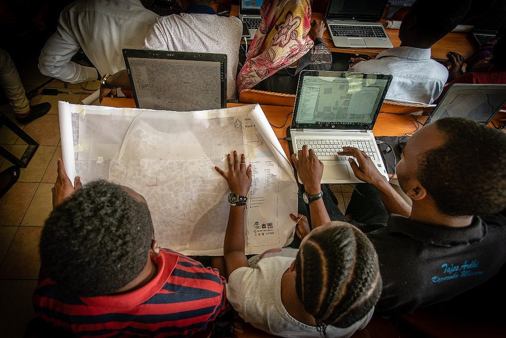
Students in industrial training
One of the aims of the project is to digitalize the mapped information and make it publicly available for anyone to use.
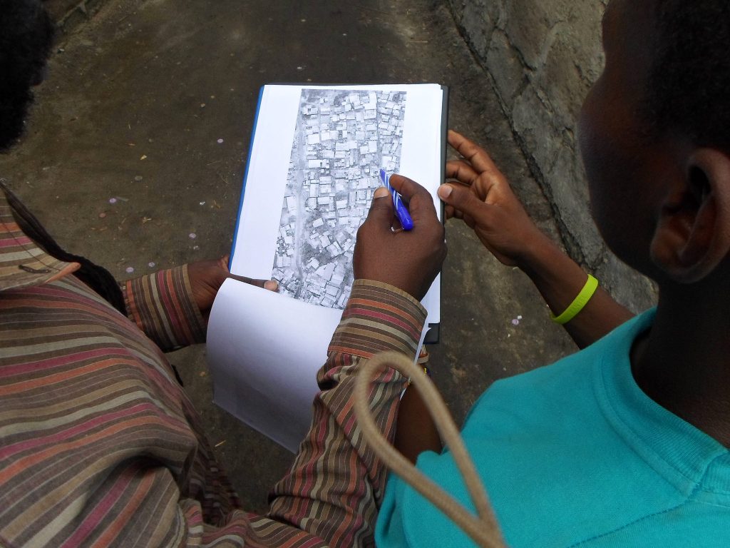
Industrial training
In the World Bank’s Urban Resilience project, Dar es Salaam neighbourhoods have been mapped with student and voluntary participation.
Rainy season
Heavy rains and poor drainage cause rapid floods in cities like Dar es Salaam, where many people reside in flood-risk areas.
Share

Related articles

News30 Jun 2026

Building climate agency through geospatial and challenge-based learning – reflections of the Shape2Gether project

Authors: Niina Käyhkö, Sanna Mäki, Jukka Käyhkö   The Erasmus+ higher education cooperation project “Shape2Gether” (Shaping Innovations in Education for Sustainable Development: Contextualizing Geosciences, New Technologies, and Serious Games with Climate Change, 2024–2026) brought together seven university partners and one company from across Europe to transform education for sustainable development. The project aimed to integrate […]

Read more →
News, Training1 Apr 2026

Resilience Academy delivers four-day training on geospatial data collection, quality management, and sharing in the Climate Risk Database across two Tanzanian cities.

By Msilikale Msilanga, Amedeus Kimaro and Massoud Hamad In March 2026, the Resilience Academy conducted two rounds of a four-day training on Geospatial Data Collection, Data Quality Management and Sharing in the Climate Risk Database. The first round took place in Tanga from 9 to 12 March, and the second round followed in Mwanza from […]

Read more →
News9 Mar 2026

Shaping Together in Finland – Sharing the Shape2Gether Experiences in Turku

The Shape2Gether -project is about shaping innovations in education for sustainable development: contextualizing geosciences, new technologies, and serious games with climate change. If you wish to explore insights from the three summer schools that were organized during this project, you can find the Norway blog post here, the Malta blog post here, and the Germany […]

Read more →
News10 Jan 2026

85 students and alumni engaged in the 2025 Data Visualization Challenge to develop geovisualization solutions supporting urban water and climate resilience decision-making in Tanga and Mwanza.

By Msilikale Msilanga Young people develop the most robust skills when they engage in hands-on work on real-world problems. Resilience Academy organized another visualization challenge for 2025 as part of ProWA-SASA project, collaborating with partners like GIZ and ProWAS SASA Partners from Mwanza and Tanga cities. This initiative provided university students and recent graduates with […]

Read more →