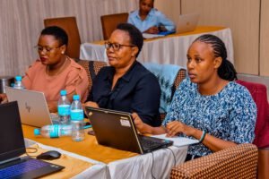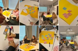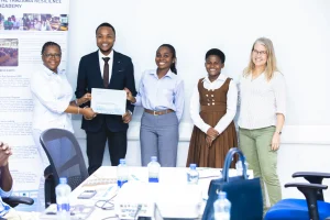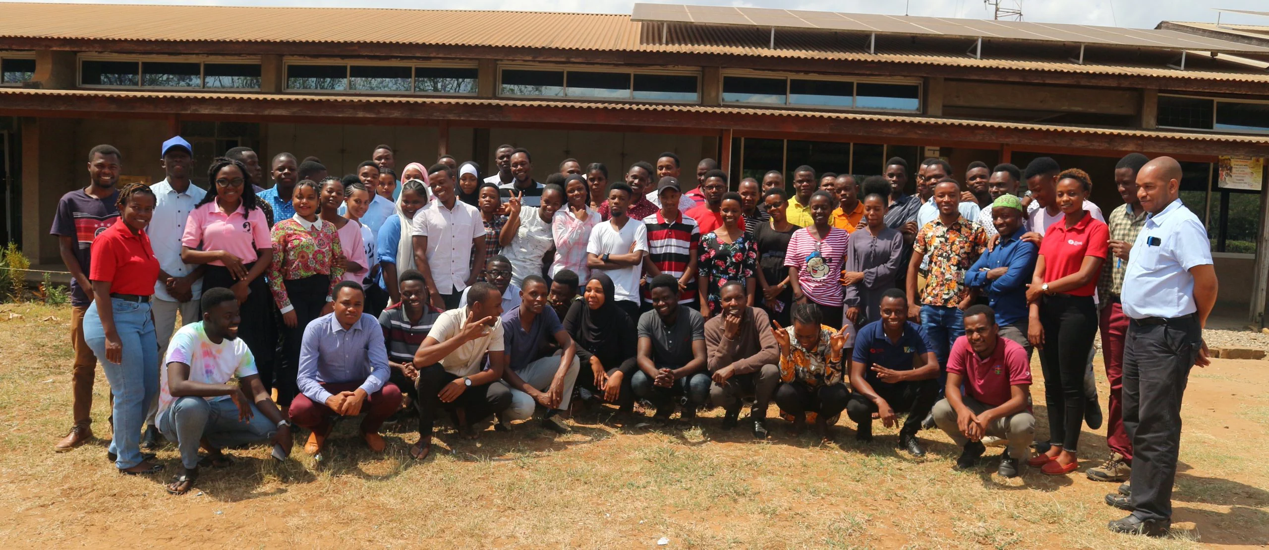
Last minute preparations, revision of the mentors’ manual, polishing the e-learning platforms, organizing students and we are ready to go! Long-waited start of our Multi-Competence Learning (MCL) campaigns is finally here.
For the last year, we have been co-designing a new challenge-driven learning method as a team of eight universities. In late July and early August MCL campaign pilots start for students from multiple undergraduate study programs at UDSM, ARU, SUA, SUZA and MoCU. Multi-Competence Learning (MCL) methodology is following a challenge-based learning pedagogy (CBL), where students work in multidisciplinary teams, actively with their peers, mentors and stakeholders. Student teams identify complex location-related societal problems, and together as a team act towards sustainable development by designing new digital data and technology solutions for the end users. The focus is on building new digital, evidence-driven solutions, which can potentially have sustainability impacts for the users of the solution and more broadly for Tanzanian society.
The concept of MCL comes from the four core competence domains, which the program endorses for students’ professional growth and readiness for the future digital, agile and still largely unpredictable labor market. We believe in students improved self-employment through these competences:
Firstly, when students dwell and solve real, complex problems of the surrounding society, they learn to interpret root causes and consequences of the problems and their spatial and temporal dimensions. Problems are systemic in nature and they materialize though complex chains of interdependencies. Secondly, as students learn practical skills in using digital geospatial (location) data and open-source geospatial and ICT technologies, these societal complex problems thrive students to think how digital data and tools could be used in a novel and contextually clever manner to provide feasible and much needed evidence-based solutions for the society. Thirdly, students’ abilities and professional confidence evolves effectively in multi-stakeholder teams so that students can recognize how to approach real-word challenges in a locally relevant manner, and how to work towards solutions, which are needed by the users and problem-owners, and which may have impact on users’ quality of life. Confidence to execute innovative and out-of-the-box solutions comes from the entrepreneurial attitude of the students with 21st century skills in the front-line: creativity, critical thinking, communication and collaboration. Finally, as global change is creating uncertainty and unpredictability to our socio-ecological systems and our quality of life, students deserve to learn how to design solutions not just based on novel digital data and technology, but based on the transformative power of digital data and tech solutions for social, environmental and economic sustainability and improved resilience.
These four core competences are behind our new learning service called “MCL” and interlinkages between these four domains of professional skills materialize in our program though couple of key principles: students work as a team, each member with a specific team responsibilities with an attitude of learning from each other, students manage their problem definition and solution building process largely on their own and the role of the mentors is to facilitate this learning process, but not to make the critical decisions for the students. Most importantly students work in close collaboration with the problem owners, so that their problems and solutions serve the end-users.
The length of the MCL Pilot Program is eight weeks and the program is divided into four phases: During the first two weeks (Building Foundation -phase) students focus on learning about the umbrella challenge as a complex and multifaceted socio-ecological challenge in their society. Students explore different dimensions of the challenge, get familiar with the problem owners and their perspectives into the challenge and then narrow down the big challenge into several actionable problems, which can be solved by digital geospatial data and technologies by their team. During the Prototyping -phase (weeks 3-4), students start generating different solution ideas to their actionable problem. For that, students get exposed to geospatial data and different digital tools, software and technologies, which can give them options for building the solution. Instead of going directly to a single solution and technology, students test how to use the tools, generate several solution candidates, and validate their feasibility in order to mitigate the uncertainties, unknowns and risks. During the Solution -phase (weeks 5-7), students work intensively, at their own pace and build a prototype of their solution using digital data and technologies. The program finishes with a Demo and Feedback Week (week 8), when students present their solutions to the stakeholders and share their data and prototypes with a broader audience in the Final Demo Day and Digital Geospatial Data Festival.
We wish all the student teams fruitful 8-weeks MCL program and good spirit for the challenge!
Niina Käyhkö, Antero Järvi, Mercy Mbise, Zakaria Ngereja, Ernest Mauya, Abubakar Bakari, George Matto, Eeva Timonen-Kallio and Romi Rancken – coordinators of the GeoICT4e.