NewsFeatured News, Press
Featured News, Press7 April 2015

Drone Aerial Imagery Used For Commuity Mapping For Flood Resilience in Ndugumbi Ward

The residents in Dar es Salaam were given a taste of state of the art technology being used in the Dar Ramani Huria project to capture imagery for use in the ongoing Mapping Exercise. Seeing the ebee Drone from Sense Fly in the sky you wont differentiate it from any other birds in the sky, […]

Resilience Academy

Photo: Resilience Academy

The residents in Dar es Salaam were given a taste of state of the art technology being used in the Dar Ramani Huria project to capture imagery for use in the ongoing Mapping Exercise.

Seeing the ebee Drone from Sense Fly in the sky you wont differentiate it from any other birds in the sky, its only if you saw it taking off from the ground that you would believe that they are actually drones.

These devices are programmed to fly in a certain direction at a particular height in the sky as they camera attached to them takes snapshots of what is on the ground.

With such clear imagery combined with local knowledge of the community members and the expertise of well trained students from Ardhi University, the output is a well detailed map of Dar es Salaam City.[:sw]

Wakazi wa Dar es Salaam walipewa ladha ya hali ya sanaa ya teknolojia inavyotumika kwenye mradi wa Ramani Huria kupata picha kwa matumizi yanayoendelea ya zoezi la kuchora ramani.

Ukiitazama Drone ya ebee kutoka Sense Fly kwenye anga, hutaweza kuitofautisha na ndege wengine angani, labda tu ukiiona inapaa kutoka ardhini ndio utaweza kuamini kwamba kweli hizo ni drone.

Vifaa hivi vimeundwa kupaa katika uelekeo na urefu fulani kwenye anga ambapo kamera inakuwa imeambatanishwa ili kuchukua picha ya vitu vilivyopo kwenye ardhi.

Mtaalam wa Drone akielezea kwa Bwana Hassan Cisse’ – Mkurugenzi wa kimataifa wa Utawala na umoja wa taasisi kutoka Benki ya Dunia jinsi ya kuitumia Drone eBee huko Ndugumbi. Mpiga picha: Daud Fufuji.

Michoro hapa chini inaonesha picha ya anga ya eneo moja kutoka kwenye Drone na Bing na pia unaweza kuona tofauti.

Kwa kuwa na picha dhahiri ikiambatanishwa na uelewa wa wazawa wa wanajamii na utaalam wa wanafunzi wa Chuo Kikuu Ardhi waliofundishwa vyema, matokeo ni ramani nzuri yenye taarifa ya jiji la Dar es Salaam.

Mtazamo wa OpenStreetMap wa Ndugumbi
Share

Related articles

News30 Jun 2026

Building climate agency through geospatial and challenge-based learning – reflections of the Shape2Gether project

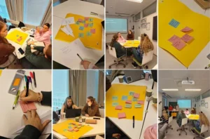
Authors: Niina Käyhkö, Sanna Mäki, Jukka Käyhkö   The Erasmus+ higher education cooperation project “Shape2Gether” (Shaping Innovations in Education for Sustainable Development: Contextualizing Geosciences, New Technologies, and Serious Games with Climate Change, 2024–2026) brought together seven university partners and one company from across Europe to transform education for sustainable development. The project aimed to integrate […]

Read more →
News, Training1 Apr 2026

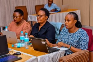
Resilience Academy delivers four-day training on geospatial data collection, quality management, and sharing in the Climate Risk Database across two Tanzanian cities.

By Msilikale Msilanga, Amedeus Kimaro and Massoud Hamad In March 2026, the Resilience Academy conducted two rounds of a four-day training on Geospatial Data Collection, Data Quality Management and Sharing in the Climate Risk Database. The first round took place in Tanga from 9 to 12 March, and the second round followed in Mwanza from […]

Read more →
News9 Mar 2026

Shaping Together in Finland – Sharing the Shape2Gether Experiences in Turku

The Shape2Gether -project is about shaping innovations in education for sustainable development: contextualizing geosciences, new technologies, and serious games with climate change. If you wish to explore insights from the three summer schools that were organized during this project, you can find the Norway blog post here, the Malta blog post here, and the Germany […]

Read more →
News10 Jan 2026

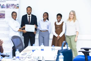
85 students and alumni engaged in the 2025 Data Visualization Challenge to develop geovisualization solutions supporting urban water and climate resilience decision-making in Tanga and Mwanza.

By Msilikale Msilanga Young people develop the most robust skills when they engage in hands-on work on real-world problems. Resilience Academy organized another visualization challenge for 2025 as part of ProWA-SASA project, collaborating with partners like GIZ and ProWAS SASA Partners from Mwanza and Tanga cities. This initiative provided university students and recent graduates with […]

Read more →