NewsNews, Training
News, Training25 March 2025

Training Government Officials on Geospatial Data and Open-Source Tools

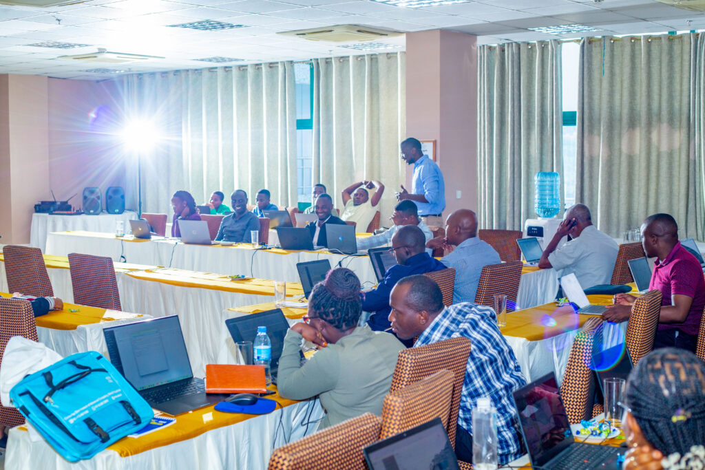
On March 10 and 11, Resilience Academy conducted a training session for government officials, focusing on the challenges of accessing and utilizing up-to-date geospatial data for climate risk decision-making. The participants, representing government offices from Ilemela and Nyamagana in Mwanza, often face difficulties in using fragmented data for decision-making. Issues such as inconsistent spatial information, […]

Resilience Academy

Photo: Resilience Academy

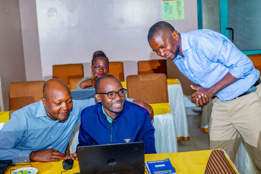
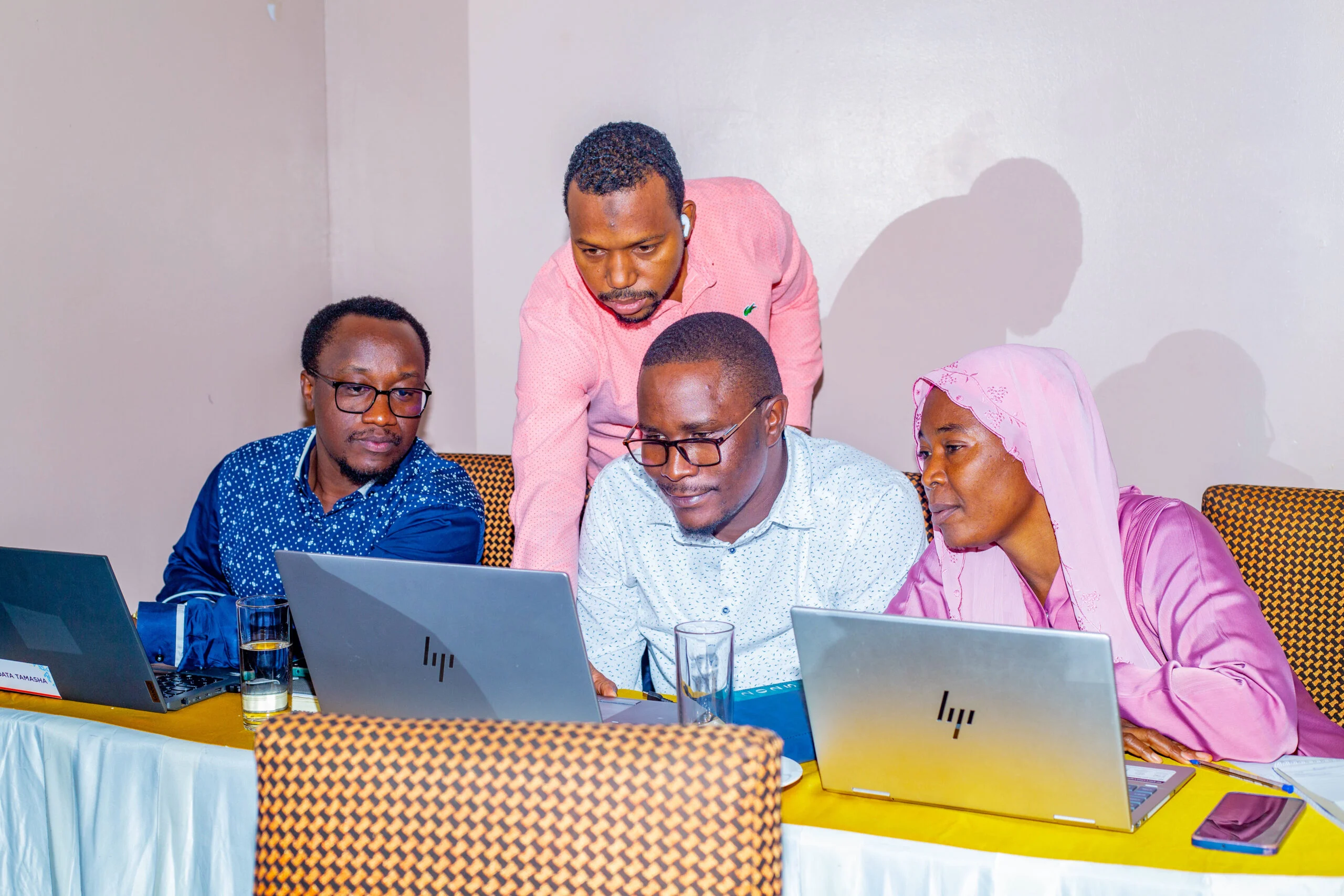
On March 10 and 11, Resilience Academy conducted a training session for government officials, focusing on the challenges of accessing and utilizing up-to-date geospatial data for climate risk decision-making. The participants, representing government offices from Ilemela and Nyamagana in Mwanza, often face difficulties in using fragmented data for decision-making.

Issues such as inconsistent spatial information, outdated records that fail to represent the current situation, manual errors during data collection, lack of standardized data-sharing protocols, and limited technical capacity for effectively utilizing spatial data continue to hinder effective decision-making for urban resilience. As a result, experts in urban planning, water management, environmental protection, and disaster response struggle to efficiently manage risks related to flooding, water scarcity, and other climate-related hazards.

The training aimed to introduce participants to the Climate Risk Database (CRD), an open-access digital platform that consolidates geospatial data relevant to climate risks. It provided an understanding of available spatial data, open-source tools, and technology for climate risk assessment and urban resilience planning. Experts learned how these tools reduce costs while improving accessibility and collaboration. They were trained on navigating the platform, uploading and managing datasets, conducting data quality checks, and visualizing geospatial information using QGIS software. The training also covered essential data curation and sharing practices, equipping participants with the skills to clean, structure, and standardize data for better decision-making and effective collaboration within their institutions and among stakeholders.
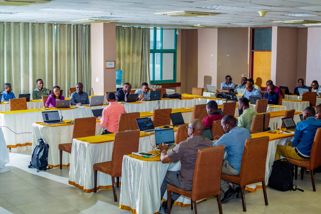
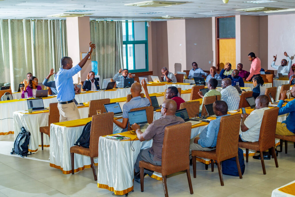
By the end of the training, participants were able to recognize the value of spatial data and open-source tools in addressing climate risks in Tanzanian cities.
Share

Related articles

News30 Jun 2026

Building climate agency through geospatial and challenge-based learning – reflections of the Shape2Gether project

Authors: Niina Käyhkö, Sanna Mäki, Jukka Käyhkö   The Erasmus+ higher education cooperation project “Shape2Gether” (Shaping Innovations in Education for Sustainable Development: Contextualizing Geosciences, New Technologies, and Serious Games with Climate Change, 2024–2026) brought together seven university partners and one company from across Europe to transform education for sustainable development. The project aimed to integrate […]

Read more →
News, Training1 Apr 2026

Resilience Academy delivers four-day training on geospatial data collection, quality management, and sharing in the Climate Risk Database across two Tanzanian cities.

By Msilikale Msilanga, Amedeus Kimaro and Massoud Hamad In March 2026, the Resilience Academy conducted two rounds of a four-day training on Geospatial Data Collection, Data Quality Management and Sharing in the Climate Risk Database. The first round took place in Tanga from 9 to 12 March, and the second round followed in Mwanza from […]

Read more →
News9 Mar 2026

Shaping Together in Finland – Sharing the Shape2Gether Experiences in Turku

The Shape2Gether -project is about shaping innovations in education for sustainable development: contextualizing geosciences, new technologies, and serious games with climate change. If you wish to explore insights from the three summer schools that were organized during this project, you can find the Norway blog post here, the Malta blog post here, and the Germany […]

Read more →
News10 Jan 2026

85 students and alumni engaged in the 2025 Data Visualization Challenge to develop geovisualization solutions supporting urban water and climate resilience decision-making in Tanga and Mwanza.

By Msilikale Msilanga Young people develop the most robust skills when they engage in hands-on work on real-world problems. Resilience Academy organized another visualization challenge for 2025 as part of ProWA-SASA project, collaborating with partners like GIZ and ProWAS SASA Partners from Mwanza and Tanga cities. This initiative provided university students and recent graduates with […]

Read more →