By Msilikale Msilanga, Amedeus Kimaro and Massoud Hamad
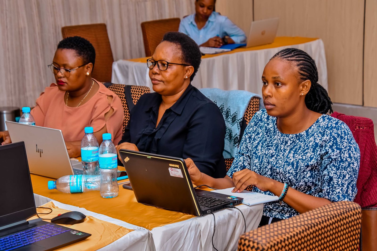
In March 2026, the Resilience Academy conducted two rounds of a four-day training on Geospatial Data Collection, Data Quality Management and Sharing in the Climate Risk Database. The first round took place in Tanga from 9 to 12 March, and the second round followed in Mwanza from 23 to 26 March. Both trainings were organized through the partnership between the Resilience Academy and GIZ under the ProWAS SASA program.
This was the second training in a series designed to build the geospatial capacity of technical professionals working in urban development and water management across Tanzania. The first training, held in late 2025, introduced participants to the fundamentals of GIS and QGIS. This second training built on that foundation by focusing on the full data management cycle: from collecting field data with mobile tools, to checking data quality, to sharing clean datasets through the Climate Risk Database.

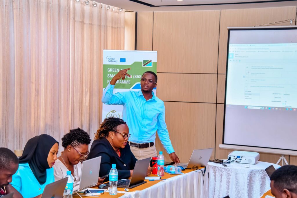
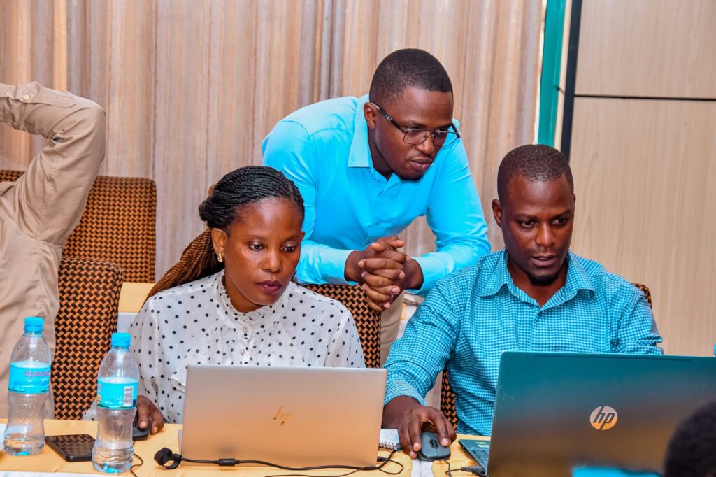
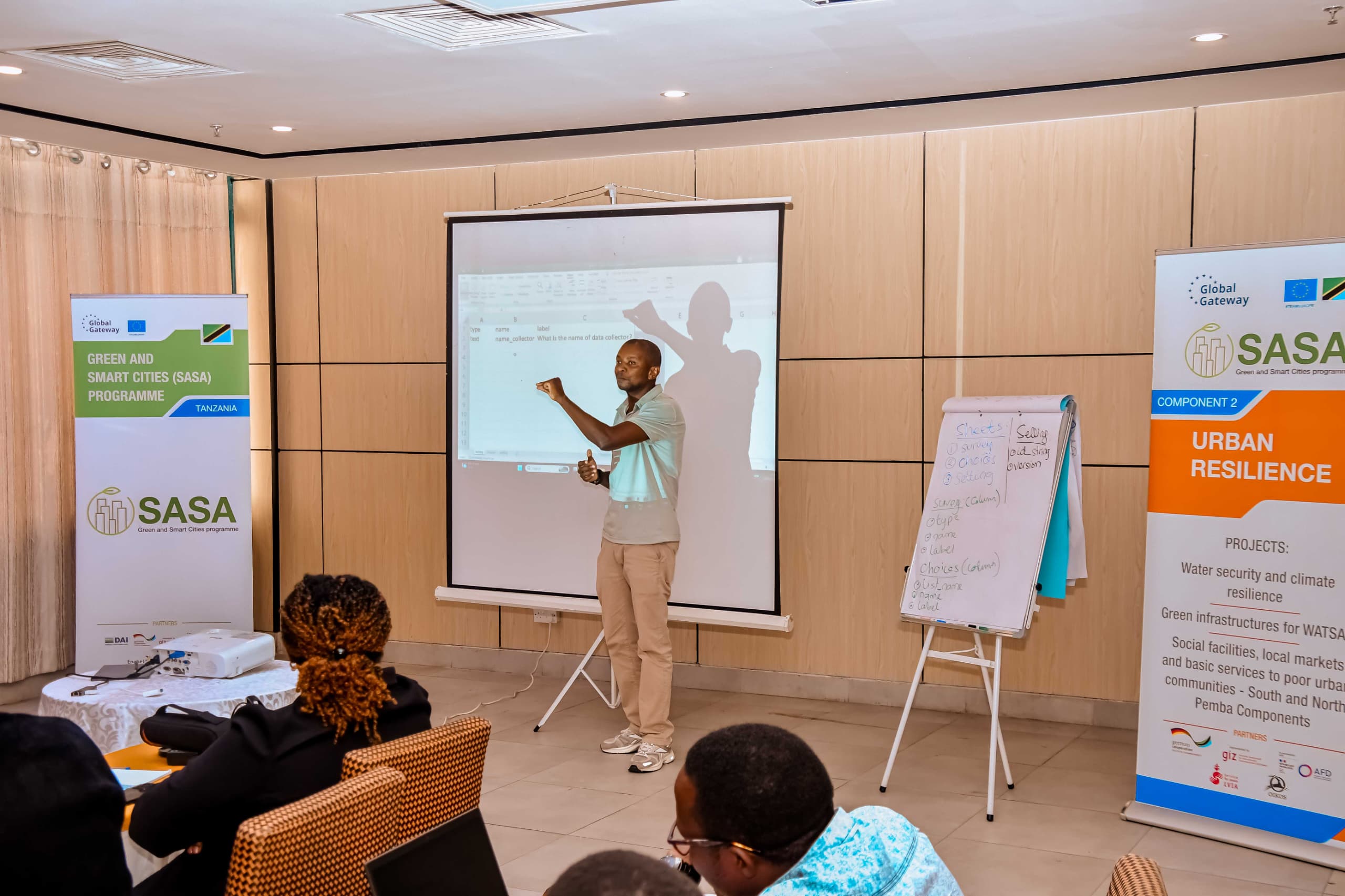
The trainings brought together urban planners, municipality surveyors, water resource managers, environmental officers, disaster risk management officers, and GIS coordinators from local government authorities. In Tanga, participants were divided into a GIS training track and a programming track. In Mwanza, two parallel groups were trained: one at the Gold Crest Hotel and another at the SASA Office. The trainings were facilitated by Msilikale Msilanga from the University of Turku and Amadeus Kimaro from Ardhi University and Massoud Hamad from State University of Zanzibar.
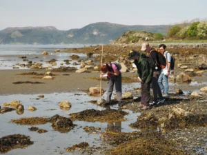
The four-day training took participants through the complete geospatial data management cycle. It started with mobile field data collection using KoboToolbox and ODK Collect, where participants designed survey forms and collected georeferenced data in the field using their smartphones. The training then progressed into QGIS, where participants learned geoprocessing tools for spatial analysis and how to work with OpenStreetMap data to extract specific datasets such as health facilities, schools, roads, and buildings. A full day was dedicated to data quality management, covering how to check, fix, and validate geospatial data before it can be used for analysis or shared. The training concluded with workflow automation using the QGIS Model Designer and the process of documenting and uploading clean datasets to the Climate Risk Database. By the end, participants had practical skills in field data collection, spatial analysis, data quality assurance, and data sharing.
The training content was adapted to each city’s context, with participants working directly with local OpenStreetMap data, ward boundaries, and elevation data from their own regions. This made the exercises immediately relevant to their daily work in urban planning, water management, and climate resilience.